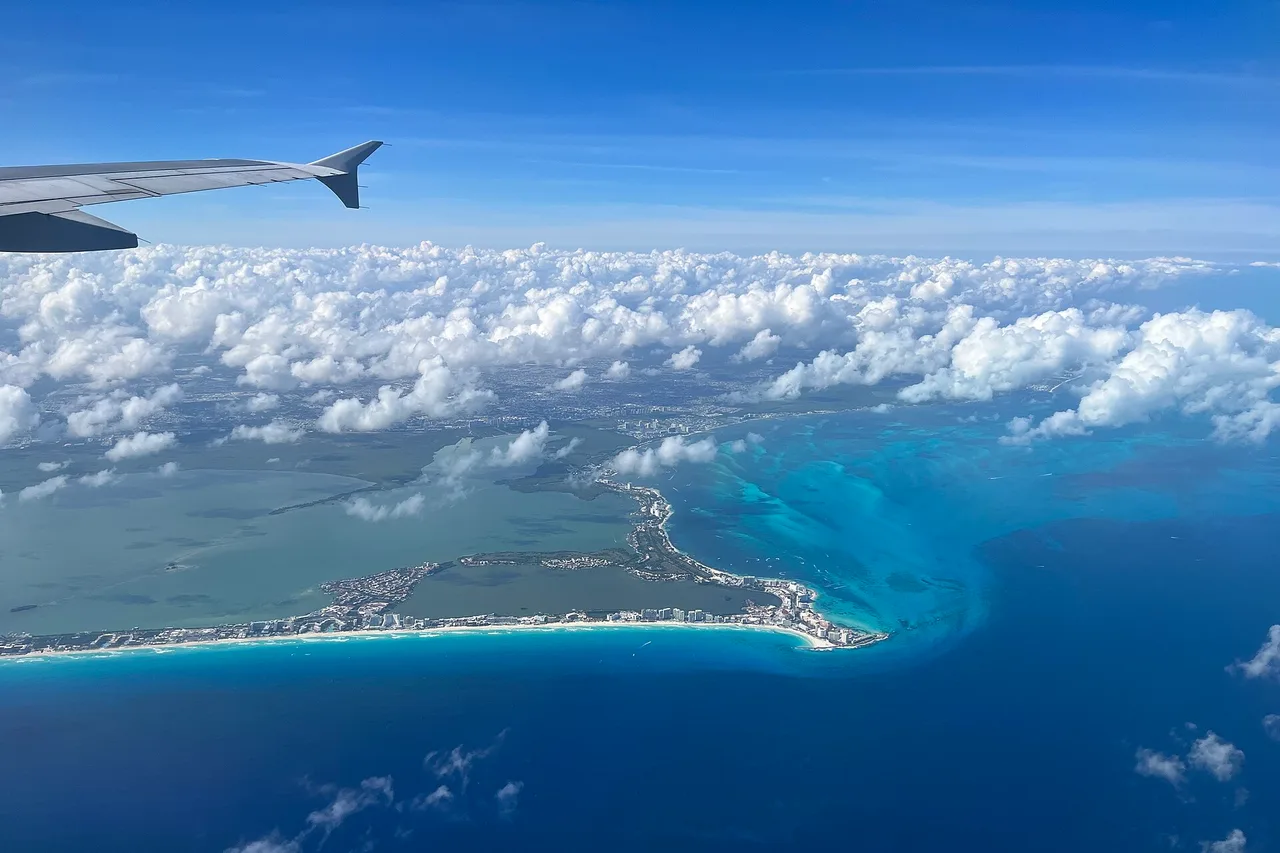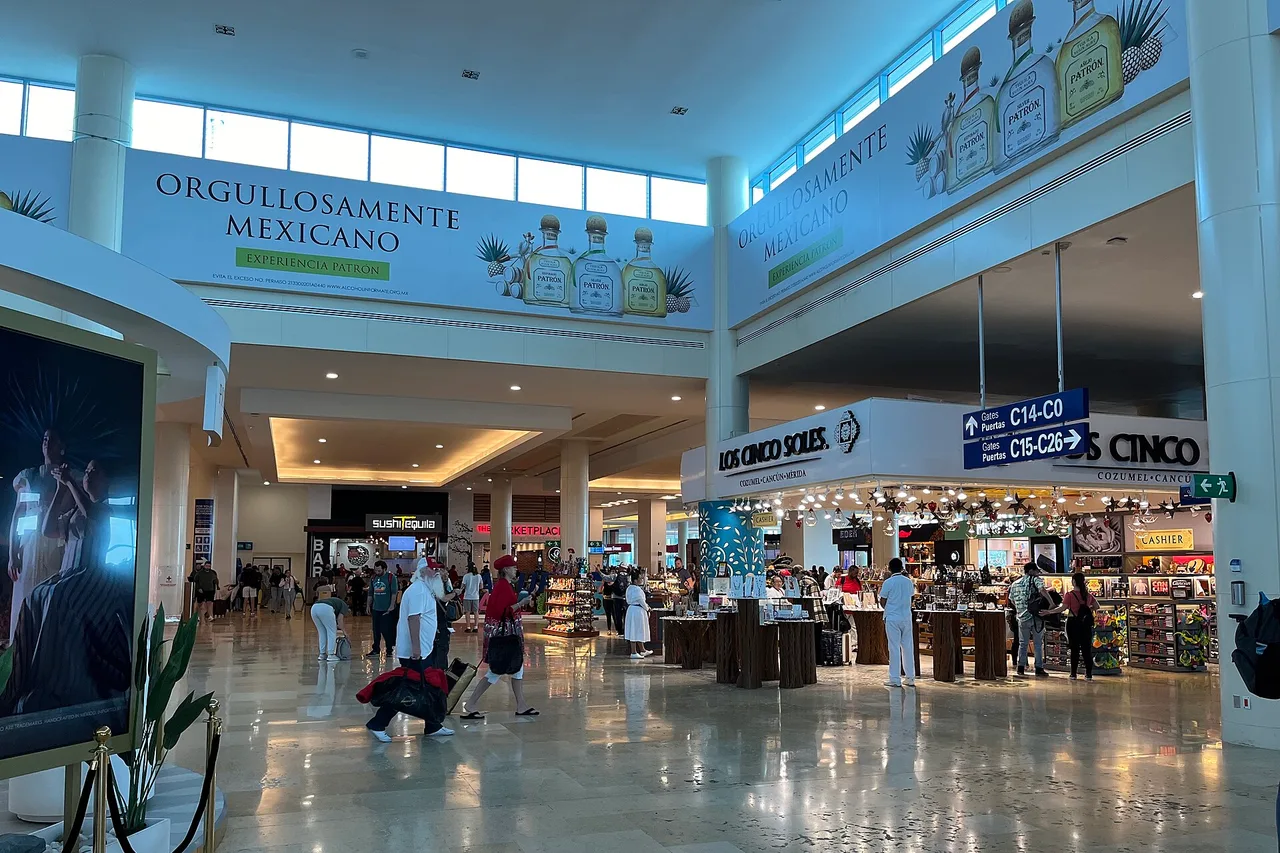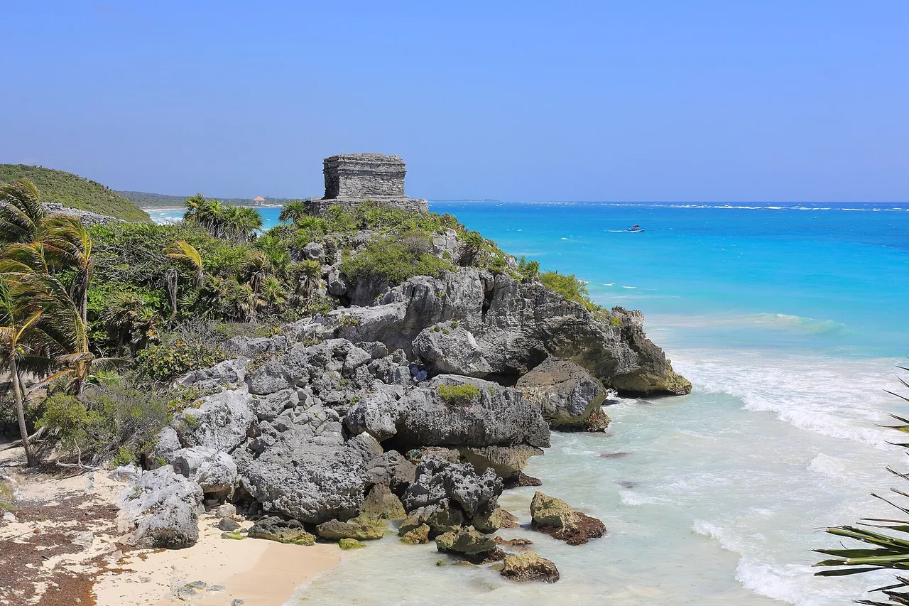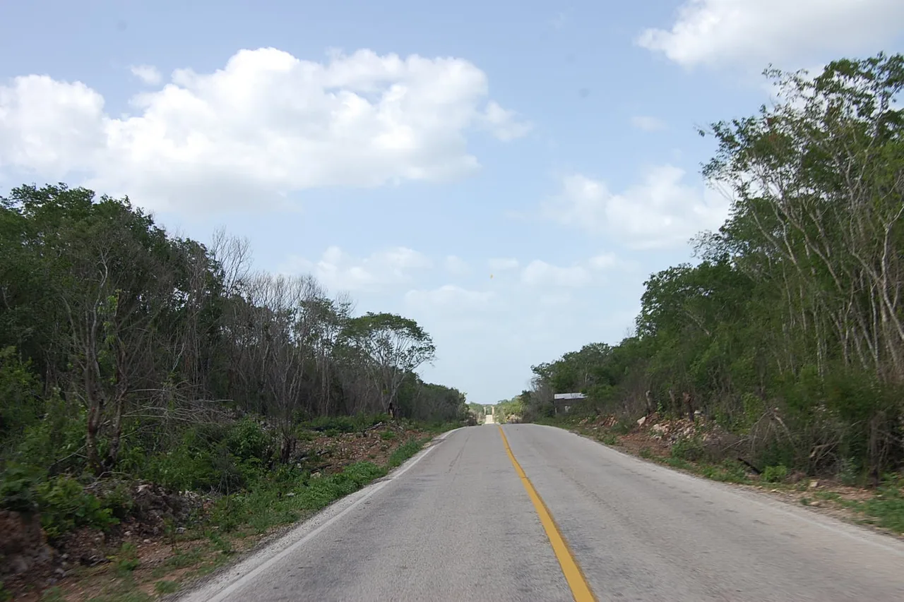
People picture the Yucatán as a Caribbean shoreline; it is first of all a limestone plain covered in low forest, and that is where almost everything worth renting a car for actually sits. Maya sites, cenotes, colonial towns, a freshwater lagoon: the classic loop out of Cancún runs about 1,500 km, no single leg exceeds three hours — and out of these fifteen days, ten are spent away from the Caribbean sand. That is not an aesthetic preference. In 2026 it is plain common sense, and the rest of this article explains why.
Three states, one loop — and an hour’s time difference in the middle
The Yucatán peninsula is not one Mexican state but three, and a driving loop crosses all of them.
Quintana Roo holds the Caribbean side: Cancún, Playa del Carmen, Tulum, Bacalar. It is the touristic part, the most expensive and the most built up. Yucatán state covers the centre and north-west: Mérida, Valladolid, Chichén Itzá, the Gulf coast. Campeche closes the loop to the south-west, with its walled city and, deep in the forest, Calakmul.
The detail that surprises everyone: there is an hour’s time difference inside the peninsula. Quintana Roo is on UTC−5 all year; Yucatán and Campeche are on UTC−6. Mexico abolished seasonal clock changes in 2022, so that gap never moves. Driving west from Cancún to Valladolid you gain an hour; coming back you lose it. It sounds trivial until the morning you turn up for a site opening — or a ferry departure — sixty minutes out.
| Leg | Distance | Driving time |
|---|---|---|
| Cancún → Valladolid | ≈ 155 km | 2 h on the toll road |
| Valladolid → Chichén Itzá | ≈ 45 km | 40 min |
| Valladolid → Mérida | ≈ 160 km | 2 h |
| Mérida → Uxmal | ≈ 80 km | 1 h 15 |
| Mérida → Campeche | ≈ 180 km | 2 h 30 |
| Campeche → Bacalar | ≈ 430 km | 5 h 30 — the one long day |
| Bacalar → Tulum | ≈ 230 km | 3 h |
| Tulum → Cancún | ≈ 130 km | 1 h 45 |
The car: the price you book is not the price at the counter
This is the one real trap of the trip, and it is sprung before you even leave.
🟢 Start with the option that costs nothing: you may not need a car at all. If your plan fits the Cancún – Playa del Carmen – Tulum – Valladolid – Chichén Itzá – Mérida axis, the Tren Maya serves it from Cancún airport, with up to six trains a day on the Mérida branch, and ADO coaches cover the rest of the network. It is cheaper than renting, and it removes tolls, fuel and parking in one go. The honest caveat: travellers still report cancellations and interrupted sections, frequency is not that of a European network, and you have to accept building your days around timetables.
If you keep the car — and for the loop described below it earns its place — here is what matters. In Mexico, only one insurance is required by law: third-party liability (written TPL, SLI or RC depending on the contract). It must be taken out in Mexico. Comparison sites, however, happily display headline rates that exclude it: the car looks like a few euros a day, then the counter adds the compulsory cover, and traveller reports put that supplement at around 20 to 30 dollars a day. A “5 euro” rental routinely ends up between 30 and 40 euros daily.
Three habits settle the problem: compare on the total price including third-party liability, never on the headline; ask for the excess amount before signing, because a two-thousand-euro excess is close to having no cover at all; and photograph the car from every angle, bumpers and sills included, when you take it. At the counter, remember that a whole package will be presented as “compulsory”: only third-party liability is.
That is why we point here to local agencies rather than to an aggregator: comparing local agencies in Cancún, Playa del Carmen or Tulum gives prices quoted with insurance included, which makes the comparison an honest one. One limit, checked on the day of publication: their Mexican coverage stops at Cancún, Playa del Carmen, Tulum and Mexico City — there is no agency in Mérida. If you want to start the loop from Mérida, you will have to look elsewhere.
The itinerary, day by day
Fourteen days, one loop, a single long driving day — and the arrival day does not count.
| Day | Leg | What you do |
|---|---|---|
| D1 | Arrive in Cancún | Night near the airport or in Puerto Morelos. You do not start driving at night after a long-haul flight. |
| D2 | Cancún → Valladolid | Two hours of motorway. Afternoon in the colonial centre, a swim at cenote Zací, right in town. |
| D3 | Chichén Itzá + cenotes | Leave at dawn to be at the gate when it opens. Afternoon at Ek Balam or cenote Oxman. |
| D4 | Río Lagartos → Mérida | Flamingos and the pink salt flats of Las Coloradas at first light, then the road to Mérida. |
| D5 | Mérida | A day without the car: historic centre, Paseo de Montejo, market, Yucatecan food. |
| D6 | Uxmal + Puuc Route | Uxmal in the morning, Kabah and Sayil in the afternoon. Back to Mérida for the night. |
| D7 | Celestún or Progreso | The Gulf coast: the flamingo reserve at Celestún, or beach and seafront at Progreso. |
| D8 | Mérida → Campeche | Two and a half hours. Walled city, pastel façades, ramparts at sunset. |
| D9 | Campeche → Bacalar | The long day: five and a half hours via Escárcega. Early start, arrive before dark. |
| D10 | Bacalar | The lagoon of seven colours, by sailing boat rather than motorboat. Fresh water, zero sargassum. |
| D11 | Bacalar → Tulum | Three hours on the road. Late afternoon on site, unhurried. |
| D12 | Tulum | The archaeological site at opening, then the inland cenotes rather than the beach. |
| D13 | Tulum → Cancún | One hour forty-five. Last night near the airport, car returned the day before the flight. |
| D14 | Fly home | Departure from Cancún. |
The western variant, if you would rather skip the long day. The loop forks naturally after Mérida: you go west (Campeche, the Puuc Route, possibly Calakmul deep in the forest) or south (Bacalar, Mahahual). Doing both in fourteen days forces at least one five-and-a-half-hour leg. If that day does not appeal, keep Campeche and Calakmul and drop Bacalar: you then return towards Cancún through the interior without ever driving more than three hours at a stretch.
A word on Calakmul, because it is often glossed over: the site is magnificent and almost deserted, but it has to be earned. Count sixty kilometres of access road off the main highway, an arrival from Campeche that cannot be done in a day, and a night in Xpujil — this is not a side trip, it is a stage in its own right.
Driving in the Yucatán: tolls, topes, fuel and nightfall
Nothing difficult, provided you know four things nobody mentions beforehand.
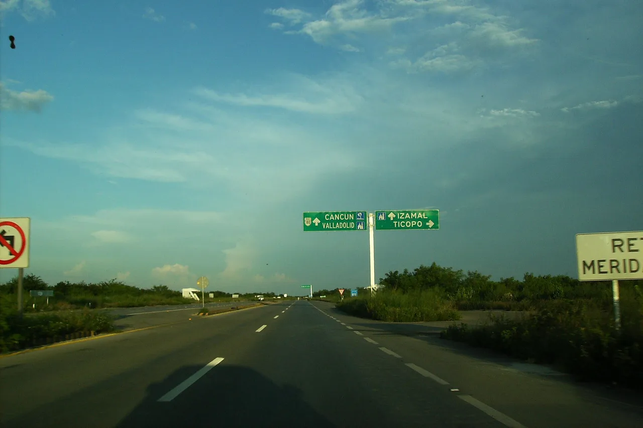
The toll is expensive, and it is paid in cash. The 180D motorway between Mérida and Cancún costs 675 pesos for a car in 2026 — a 4.6 % rise on the 645 pesos of 2025. The full run through to Playa del Carmen comes to 742 pesos. That is roughly 33 to 37 euros for one road, one way: not a rounding error, a budget line. You pay in pesos or with an electronic TAG; carry notes.
Running alongside it is the free 180. It goes through the villages, adds an hour and a half to two hours between Mérida and Cancún, and it is also the only one that shows you something other than low forest. Many travellers take the toll road out and the free road back; it is a good compromise.
Full guide: Renting a Car in Yucatán: Insurance, Deposit, Real Prices
The topes. These are speed humps, but nothing like ours: tall, brutal, planted at every village entrance and exit, and very often neither painted nor signposted. They damage more rental cars in the Yucatán than everything else combined. On the free road the rule is simple: as soon as a village appears, slow down before you have proof you need to.
Fuel. You do not serve yourself; an attendant does it. The local habit, and the only precaution that counts: check the pump has been reset to zero before they start. A tip of five to ten pesos is customary. Cards work at most stations, not all — keep cash.
And you do not drive at night. Unlit roads, loose animals, invisible topes, cyclists without reflectors: the risk is not crime, it is visibility. At these latitudes night falls around 6 to 7 p.m. all year, which gives you real days but does not forgive late departures. That is also why day 1 of the itinerary above involves no driving at all.
🟢 For the arrival itself, the cheapest option is the bus. ADO coaches link Cancún airport to the city centre and Playa del Carmen for a few dozen pesos, and colectivos handle the rest. If your flight lands late, or you are travelling as a group or with children, a transfer booked in advance from Cancún airport has the advantage of a fixed price known before you leave, and spares you driving tired, at night, in a country you have just landed in: you collect the car the next morning. That is the case that justifies it, not the others.
Chichén Itzá and the other sites: what it costs, and when to go
Mexico’s most famous site is also its most expensive, its busiest, and the one you experience worst if you arrive at the wrong hour.
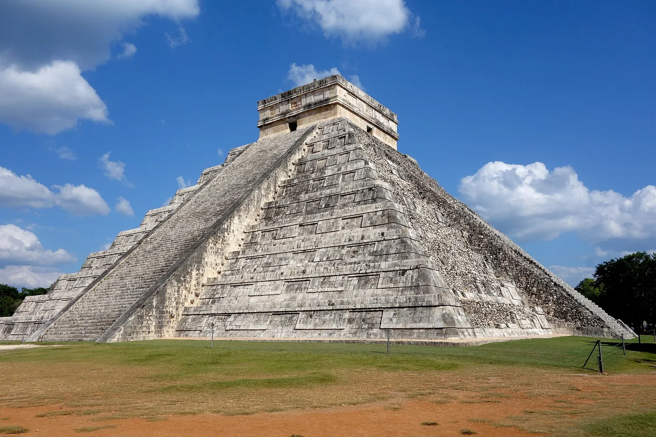
Chichén Itzá is visited at opening time, or not at all. The coaches from Cancún and the Riviera Maya start arriving around 10 a.m. and leave about 2 p.m.; between those two markers, the esplanade of Kukulcán is a crowd. Sleeping in Valladolid, forty minutes away, lets you be at the gate as it opens — that is the one decisive advantage of that base, and on its own it justifies the night there.
On price, it is the dearest site in the country. For a foreign adult in 2026, budget roughly 680 to 700 pesos, about 33 to 35 euros, on a ticket that now combines the federal and Yucatán state shares. We deliberately give no exact figure: sources published this year do not agree — 676 pesos in one place, 697 in another — and the amount changed during the year. Check at the entrance, and bring cash.
You no longer climb the pyramids. Kukulcán has been closed to climbing since 2006, and Cobá’s Nohoch Mul since 2020. The one major site where it was still possible in recent years is Ek Balam, half an hour from Valladolid and with a tenth of the crowd of Chichén — but the rule can change without notice, so ask at the entrance rather than driving out for that alone.
And if you were to keep only one other: Uxmal, an hour and a quarter from Mérida, is architecturally the equal of Chichén Itzá with a fraction of the crowd, and the Puuc Route beyond it (Kabah, Sayil, Labná) is nearly empty. At Cobá you move around inside the site by bicycle or pedicab, which changes everything at thirty-five degrees. As for Tulum, those are the least impressive ruins on the list — but they sit on a cliff above the sea, and the setting is what you come for.
Cenotes: how to choose when there are thousands
The Yucatán bedrock is a limestone sponge pierced with natural wells. Thousands are recorded, and they are not alike.
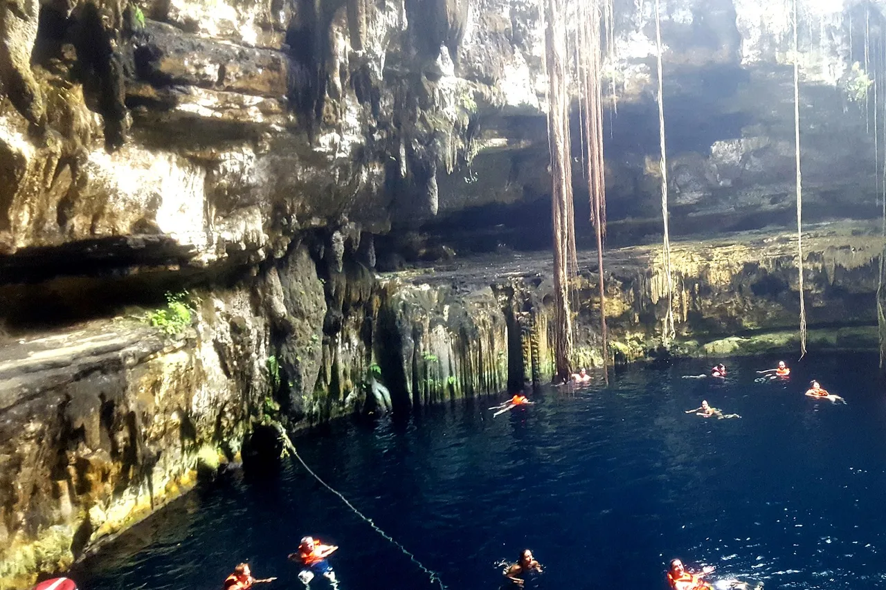
There are three families. Open cenotes look like a small lake ringed by cliff; semi-open ones keep a pierced vault with roots trailing down; cave cenotes are visited underground, in very clear water and scarce light. The most photographed — Ik Kil near Chichén Itzá, Suytun and its platform — are the busiest: you queue for the picture.
Around Valladolid, Zací is in the middle of town and Oxman ten minutes out. But the best ratio of quiet to beauty is at Homún, a village an hour from Mérida with dozens of cenotes to itself: you move between them by pedicab, prices are low and groups are rare.
Three practical rules, valid everywhere. A shower before swimming is compulsory and genuinely enforced. Sun cream is banned, including the kind sold as biodegradable: it kills the ecosystem of a closed pool — take a t-shirt or a rash vest instead of a tube. And bring cash: most community-run cenotes take no cards at all. The water sits at 24 to 26 °C year round, though a cave always feels cold on entry.
Mérida, Valladolid, Campeche: three towns, three uses
They are not equivalent, and above all they do not serve the same purpose in a loop.
Mérida is the capital of Yucatán state and the place you stay longest: a dense historic centre, the Paseo de Montejo lined with mansions from the sisal era, free evening performances on the squares, and the best Yucatecan cooking on the peninsula — cochinita pibil, sopa de lima, papadzules. It is also the logical base for Uxmal, Celestún and the cenotes of Homún, all under two hours away.
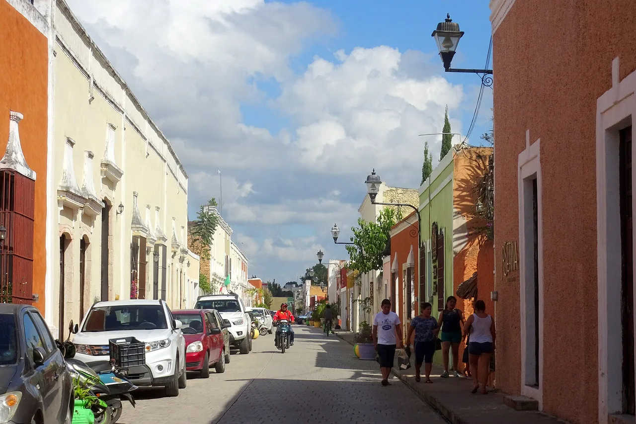
Valladolid is small, colourful and crossed on foot in an hour; the Calzada de los Frailes is its most photographed street. Its real value in a loop lies elsewhere: it is the only base that puts Chichén Itzá and Ek Balam within forty-five minutes, and therefore the only one that gets you there before the coaches.
Campeche is a walled city facing the Gulf of Mexico, its pastel façades restored, UNESCO-listed — and by far the least visited of the three. It is a quiet pleasure, and a natural stop if you take the western variant described above.
The coast: what sargassum changes in 2026
This is the point on which we will not be polite, because it decides the shape of your trip.
Sargassum is brown algae that drifts in from the Atlantic and washes up on the Caribbean side. The phenomenon is not new, but the University of South Florida forecasts 2026 as a record year, after readings hit highs across almost every region of the Caribbean and the Gulf. On the Riviera Maya the season runs broadly from March to October, at its worst between May and August, easing through September and October, with a generally clear coast from November to February.
What that means in practice: between May and August, do not build a trip around the promise of a flawless Caribbean beach. The market is saying so in its own way — in the worst-hit zones, hotels have cut their rates, sometimes sharply. That is not a bargain, it is a signal.
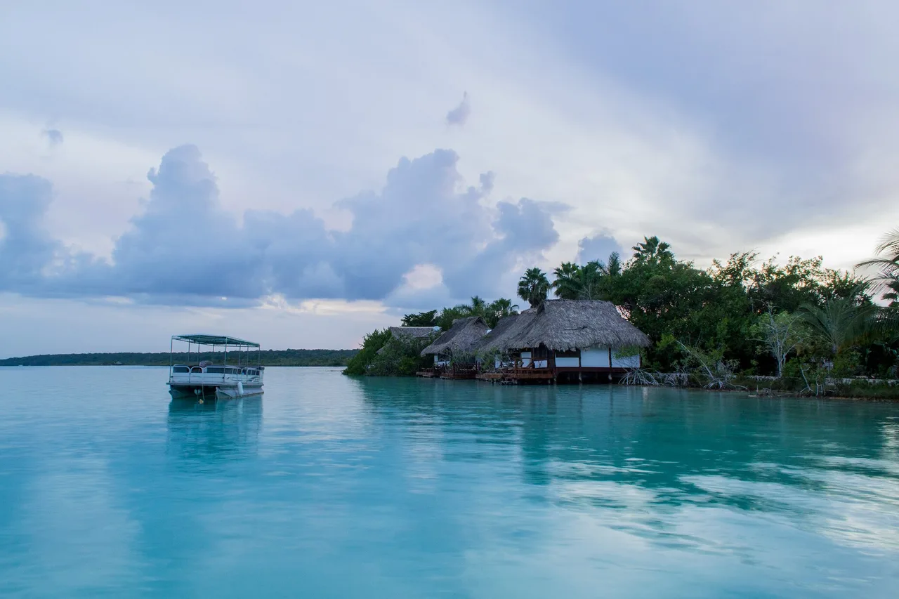
The good news is that you only need to change place, not dates. Bacalar is a freshwater lagoon: sargassum never reaches it. Holbox and the whole Gulf coast — Celestún, Progreso, Río Lagartos — face the other side of the peninsula and are far less exposed. And cenotes, obviously, are unaffected. That is precisely why the itinerary above spends ten of its fourteen days away from Caribbean sand: not a taste, a trade-off.
Two closing details. Hurricane season runs from 1 June to 30 November, with a marked peak in September and October; that does not rule the period out, it justifies cancellation cover. And if you push on to Holbox, note that you do not drive there: you leave the car in a paid lot at Chiquilá, two hours from Cancún, and take the boat — the island is covered on foot or by golf cart.
Money, connectivity, and the costs you can fix in advance
Only two expenses can be locked in before departure; everything else depends on how you travel.
Money. You pay in pesos. At the cash machine, one reflex saves 5 to 10 % on every withdrawal: when the machine offers to charge you in your own currency, decline and choose pesos — the conversion “offered” by the ATM is always the most expensive. Prefer major bank machines to those in airport halls and shops. And keep cash on you at all times: archaeological sites, community cenotes, small restaurants, tolls and some petrol stations take nothing else.
🟢 For your phone, the cheapest solution is a local one. Mexico is outside the European Union and outside the European Economic Area: your plan does not cover it and roaming is billed dearly. A Telcel SIM card, bought in any Oxxo or at the airport, costs a few hundred pesos with data and gives the best coverage on the peninsula — including on the minor roads where other operators drop out. It is the most economical option, and the one we recommend from a week onwards. It does require an unlocked phone and a trip to a shop. To land already connected, or for a short stay, an eSIM activated before departure avoids that step; it is a convenience, not a saving.
Full guide: eSIM for Mexico: networks, prices and traps to avoid
The two costs you can put a figure on right now are the rental and the tolls: the car, if you compare it with insurance included, and the 180D toll, whose 2026 rate we gave above. The rest — accommodation, meals, site entries — varies too much from one traveller to another for a single number to mean anything, and we would rather not invent one. Just know that archaeological entry fees weigh more heavily than people expect on a loop that strings together five or six of them.
A last word, and perhaps the most useful: do not overload the days. Yucatán heat is not fought, it is worked around — visit early, swim in a cenote at midday, drive again in the late afternoon. A fourteen-day loop that plans three things a day will do two; one that plans two will do them well.
Top-rated activities in Mexico, bookable online: