Ten days is the right length for a first trip to Réunion: enough to see the lagoon, two cirques, the volcano and the wild south — provided you don't spend your time driving the same roads twice. This is the itinerary we recommend to friends: three base camps instead of a different hotel every night, the viewpoints in the morning before the clouds, the sea in the afternoon. Every stage links to the 160 spots of the free app, with access, local tips and the day's weather.
The island's logic, before the programme
Three rules make a Réunion trip work. One: the weather reads vertically — the west is dry and sunny, the east rain-fed, and everything panoramic (Maïdo, volcano, summits) is played out at dawn, before the clouds climb from the coasts mid-morning. Two: journeys are counted in hours, not kilometres — a cirque road means hundreds of bends, and driving it twice is a day lost. Three: you radiate from base camps — the west first, then the south, the east to finish. Our Réunion Island page sums up the regions; the itinerary below chains them in the order that minimises driving.
Full guide: Renting a Car on Réunion Island: Tips and Pitfalls
Days 1 to 3 — the West: lagoon, Maïdo, whales
Base yourself around Saint-Gilles, L'Hermitage or La Saline: this is the leeward coast, the driest, and the only sector where swimming is straightforward. A reminder that allows no exception: you only swim in the authorised zones — the reef-protected lagoons, the netted swimming areas and the beaches watched by shark lookouts, such as Boucan Canot or Roches Noires. Day one belongs to the water: snorkelling over the corals of L'Hermitage, late afternoon at La Saline, sunset on the beach.
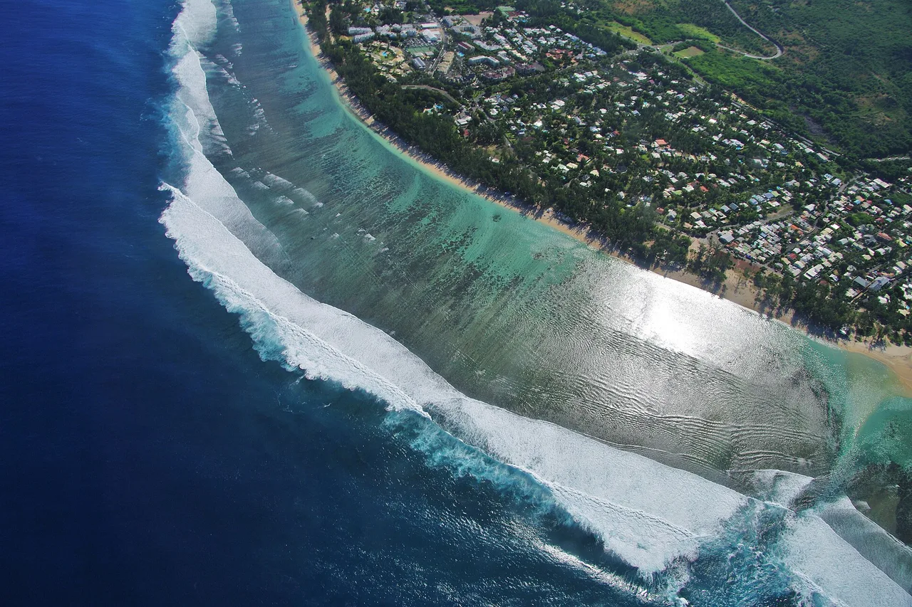
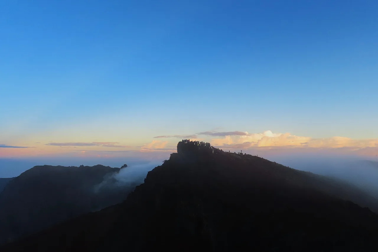
On day two, up at 5 am for the Maïdo: at 2,205 metres, the balcony over Mafate shows the hamlets a thousand metres below, and it clouds over almost every late morning. Then drop back down to Saint-Leu — a narrow, fish-rich lagoon, Kélonia and its sea turtles, paragliders circling above the bay. Day three belongs to the ocean: from June to October, humpback whales cruise along the coast — watch them from the Cap La Houssaye trail or the Pointe au Sel, and closer up by boat with an operator who respects the approach charter. Every beach and its swimming zone is in the app's Beaches category.
Full guide: Things to Do in Réunion Island: 25 Unmissable Spots, Chosen by Locals
Days 4 and 5 — Cilaos, at the end of the 400 bends
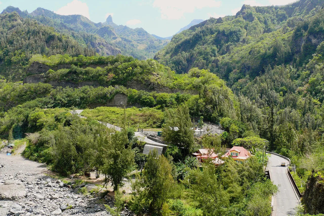
The climb to Cilaos on the RN5 is a journey in itself: a road carved into the rampart, famous for its four hundred or so bends, threading through the gorges of the Bras de Cilaos before opening out beneath the walls. Leave in the morning, stop at the lookouts, and allow plenty of time — this is a road to savour. Up there: the village and its thermal baths, Cilaos lentils and wine, the Creole houses, and the Îlet à Cordes for the end of the world.
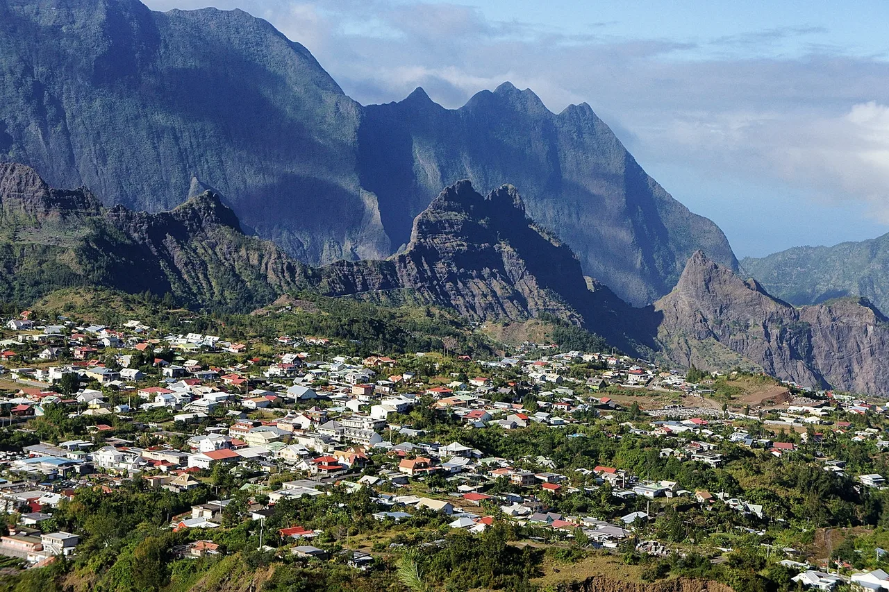
On day five, two options depending on your legs. Seasoned hikers head for the Piton des Neiges: a night at the Caverne Dufour lodge booked long in advance, a night climb by headtorch, sunrise at 3,070 metres — the highest point in the Indian Ocean, above a sea of clouds. Everyone else picks a gentler walk to the Roche Merveilleuse or a morning's canyoning in the ravines with professional guides. Either way, drive down in the afternoon towards the south: your second base camp awaits around the Plaine des Cafres.
Days 6 and 7 — the volcano, then the wild south
Day six is Piton de la Fournaise day, and it starts in the dark: the volcano forest road crosses the Plaine des Sables — a cinder desert that could pass for Mars — before ending at Pas de Bellecombe, facing the enclosure. If the trails are open, the classic hike to the Dolomieu crater viewpoint is about 12 km return, 5 to 5.5 hours of walking and 550 metres of climbing; access depends on the volcano's activity, so check the Volcano zone conditions that very morning — cold at dawn, fog by late morning, no shade in the enclosure.
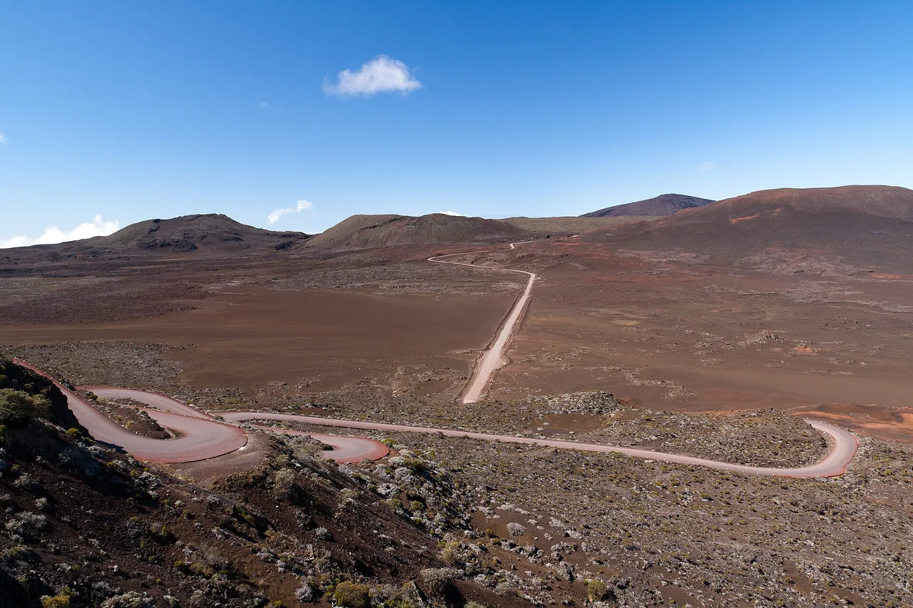
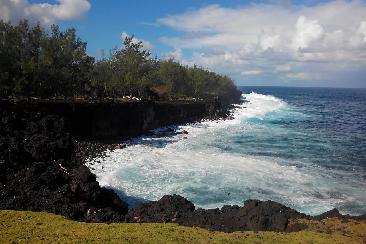
Day seven drops down to the wild south, the island's most spectacular coastline: lava cliffs pounded by the ocean, the lava road at the Grand Brûlé — where you drive between cooled flows that once crossed the RN2 —, the vanilla plantations around Saint-Philippe, and the Anse des Cascades with its waterfalls facing the sea. This is also lava-tunnel country, visited only with a professional guide. To chain these stops without zigzagging, trace the day's road trip on the explorer map: it is timed on real roads, and it lands in your agenda.
Your itinerary, timed on real roads
Pick your spots among the island's 160, and the map traces each day's road trip and sends it to your agenda — with the forecast zone by zone. Free, no account needed.
Open the free app →Days 8 and 9 — Salazie, the greenest cirque
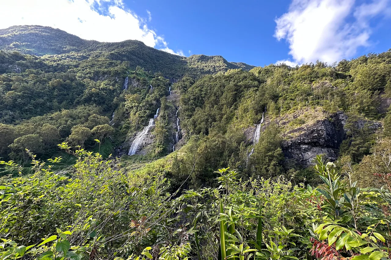
Head north-east for the third base camp. The Salazie road climbs a valley where waterfalls tumble on every side — including the Voile de la Mariée, admired from a simple roadside stop. At the far end of the cirque, Hell-Bourg, listed among the most beautiful villages of France, lines up its Creole houses with lambrequins and lush gardens: wander, visit a house, try a cari at a Creole table. On day nine, push on to the Bébour-Bélouve forest and the Trou de Fer lookout — a chasm where several waterfalls plunge into the void —, or to the Sainte-Suzanne pools down on the coast.
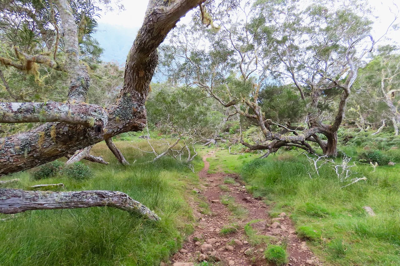
Hikers' variant: swap these two days for Mafate — the roadless cirque, entered only on foot or by helicopter. Two days and one night are enough for a first time: walk up to La Nouvelle or Marla, sleep in a lodge (book early), walk down the next day. It is the most powerful experience the island offers, and it is earned.
Day 10 — Saint-Denis, markets and last caris
Keep the capital for the end: the Rue de Paris and its Creole mansions, the Jardin de l'État, the covered markets for spices, vanilla and rhums arrangés to slip into the suitcase. If your flight leaves late, a final detour to the Saint-Paul seafront market closes the loop where the island began. Leave some room in the suitcase, too: vanilla pods, Cilaos lentils and a jar of piment take up little space and carry the island home with you. And if you only have seven days: sacrifice the east and Salazie, never the volcano or Cilaos — or come back, which is what most people do once they have seen the island.
A word about food, which is as much a part of the itinerary as the landscapes. At midday, do as the Réunionese do: samoussas, chilli bites and bouchons bought at a roadside stand, or a takeaway cari eaten in front of a viewpoint — cheap, quick, and better than most sit-down lunches. On Sundays the whole island eats outdoors, under the kiosks and the filao trees: join in, because that is where you actually meet people, and nobody will let a visitor sit alone for long. And in the cirques, book at least one dinner at a table d'hôtes: the cari comes off a wood fire there, and the stories come with it.
A local's word
A successful Réunion itinerary is not the one that ticks off the most places: it is the one that starts early, accepts to give up when the fog is in, and leaves room for the unplanned — a local sending you to a Creole table or a pool the guidebooks ignore. The app's agenda spreads your wishes over the ten days according to the forecast, and the journal keeps your spots, notes and photos — from the first swim in the lagoon to the last bend of the Cilaos road.
The real Réunion, in your pocket
The interactive explorer map: 160 spots checked on the ground, live weather zone by zone and road trips timed on real roads. Free, no account, no card.
Discover Moris Insider →