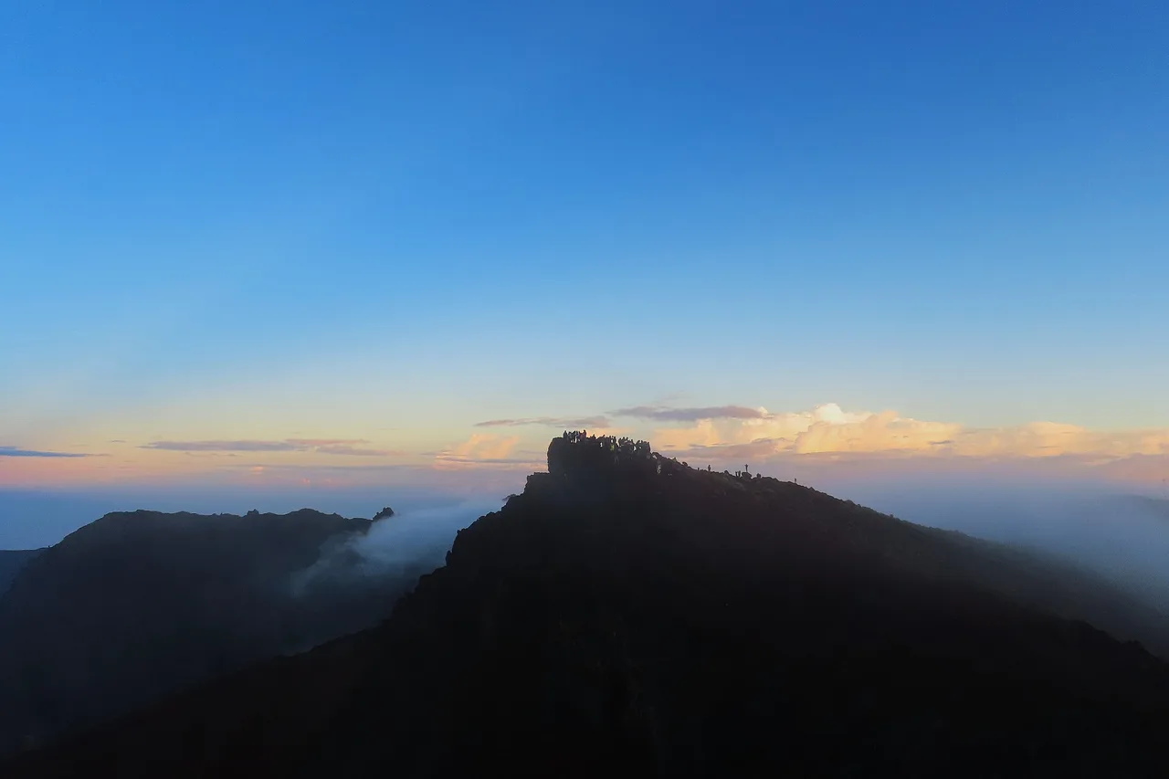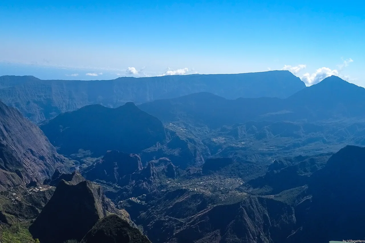
The short answer: you can only enter Mafate on foot. Not a single road penetrates this 14-by-7-kilometre cirque ringed by thousand-metre ramparts — one of the last inhabited corners of France without a single car. Mail, gas bottles and bags of cement arrive by helicopter; everything else, including you, arrives by trail. That is exactly what makes Mafate unlike anywhere else: a world apart in the heart of Réunion Island, listed as a UNESCO World Heritage site since 2010 together with the island's pitons, cirques and ramparts. Here is how to get in, where to sleep, and what to know before you lace up your boots.
The last piece of France without a road
Mafate was born as a refuge. In the 18th and 19th centuries, escaped slaves — the “maroons” — hid here, protected by walls that even punitive expeditions struggled to cross; tradition traces the cirque's name back to one of their chiefs. Later, the smallholders pushed off the sugar-cane lands built their cabins on the ledges. Their descendants still live here: a few hundred Mafatais, spread across about ten îlets — the inhabited plateaus perched between the ravines.
Modernity stopped at the ramparts, and the cirque adapted: electricity comes from the sun, supplies come from the sky. Helicopter rotations stand in for delivery trucks, while the postman still does his rounds on foot — several days of walking every week. In 2016 Mafate counted eight schools; the îlets' children board “down below” for secondary school. This is neither a stage set nor a reserve: it is a living territory, and you are somebody's guest here.
The gateways into the cirque
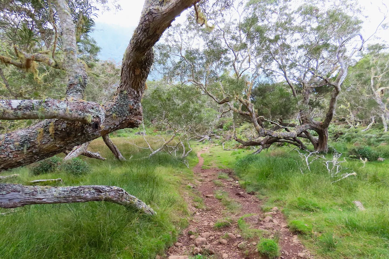
The Col des Bœufs is the main gate — and the simplest. You reach it by car through the Salazie cirque, via Grand Îlet and Le Bélier, at the end of a forest road. The attended car park costs 5 € per day and 14 € per night, cash only, no reservations: on busy days it fills up early. From the pass, a wide path drops through the tamarind forest of the Plaine des Tamarins and rolls on towards La Nouvelle — the ideal first-time entrance.
Full guide: Renting a Car on Réunion Island: Tips and Pitfalls
Seasoned hikers have other doors. The Col du Taïbit, from the Îlet à Cordes road in Cilaos, tips you straight down to Marla: this is the pass used by walkers linking the cirques together. The Col de Fourche and La Brèche double the access from the same forest road as the Col des Bœufs. Finally, from below, the Bas Mafate trails — the Scout and Augustave paths — climb the Rivière des Galets from Deux Bras and serve Aurère and the northern îlets; count on more commitment, with heat on top. As for the Maïdo, it is first and foremost a balcony: people come to gaze down into the cirque from 2,205 m, but its descent to Roche-Plate is steep, exposed, and best left to experienced hikers.
The îlets: villages at the end of the world
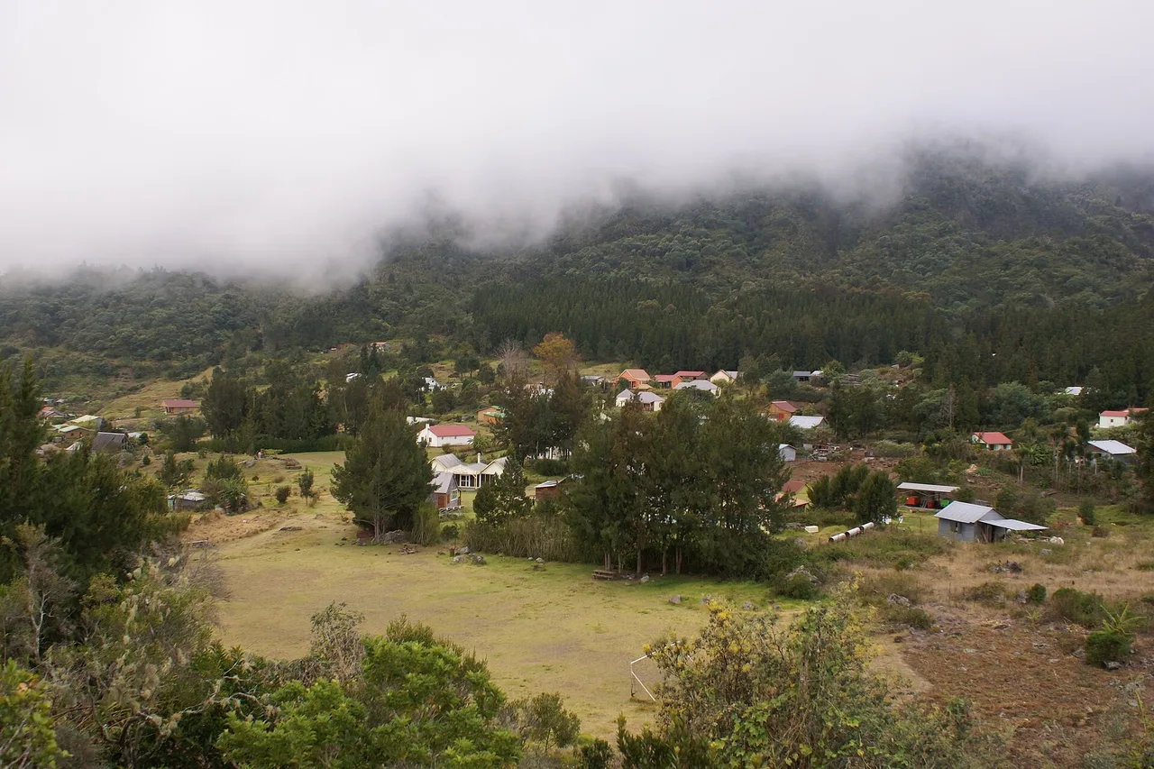
La Nouvelle is the cirque's “capital”: the largest îlet, set at around 1,400 m on a plateau of meadows, with its colourful tin roofs, its gîtes, its family-run tables and small grocery shops where the price of a soda gently reminds you everything came in by helicopter. Marla, the highest, faces the Trois Salazes and guards the Taïbit gate towards Cilaos; Roche-Plate lives beneath the Maïdo rampart. And Bas Mafate strings out its hamlets — Aurère, Îlet à Malheur, Îlet à Bourse, Grand Place, Cayenne, Les Lataniers, Îlet des Orangers — perched above the Rivière des Galets, wilder and far less visited than the upper cirque.
From one îlet to the next you don't “cover” kilometres, you cross ravines: distances are counted in hours, not markers, and a line that looks short on the map can hide 600 m of descent followed by just as much climbing. That is the Mafate rhythm — and it has one merit: it filters. Past the first ravine, the crowds stay behind.
One day, two days, or a full traverse: three formats
As a day trip. The Col des Bœufs → La Nouvelle round trip is the great classic: 11.4 km, about 6 hours of walking, 694 m of elevation to drop and then regain. Start early, lunch on a chicken carri in the îlet, climb back out before the clouds swallow the pass. It is the best “trial door” to find out whether Mafate calls to you — spoiler: it will.
Over two days. Our favourite loop: down to La Nouvelle, night in a gîte, then Marla via the Plaine des Tamarins, and back under the Col de Fourche — or over the Taïbit into Cilaos if you have arranged a vehicle on the other side. A night inside changes the nature of the trip: in the evening, once the day walkers have climbed out, the cirque falls silent again, and the starry sky, without a single city light, is among the purest on the island.
Three days and more. The long-distance GR trails that cross the island — R1, R2, R3 — all meet inside Mafate, and a top-to-bottom traverse (La Nouvelle, Marla, then the Bas Mafate îlets and out along the Rivière des Galets) condenses everything the cirque does best. The format slots naturally into a 10-day Réunion itinerary, of which Mafate is, for many, the strongest memory.
Sleeping and eating inside the cirque
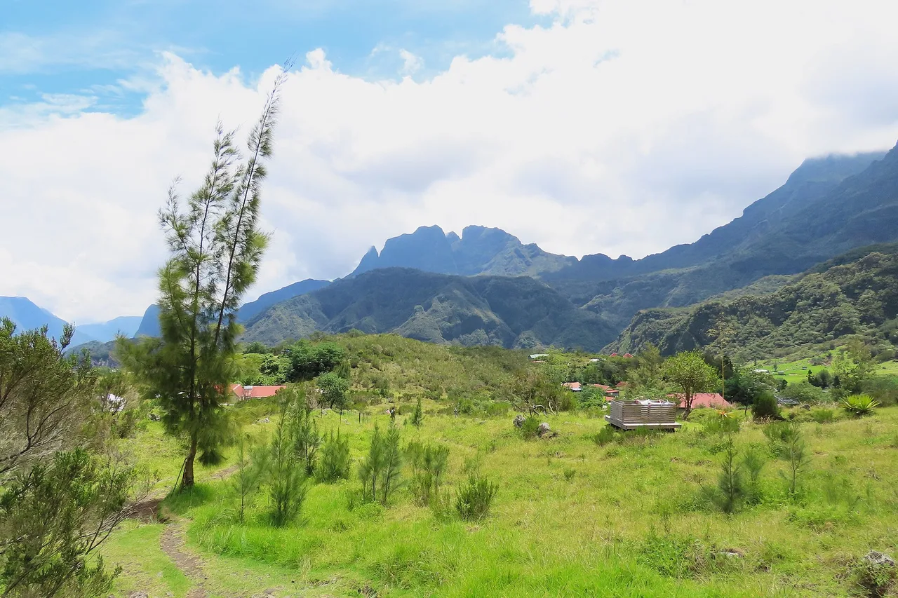
Mafate's gîtes almost all work on a half-board basis: expect 60 to 75 € per person for dinner, bed and breakfast. On the table, Creole cooking over a wood fire — chicken carri, rougail saucisses, beans and grains, the house rhum arrangé — served family-style, with the host's stories thrown in. Book ahead, seriously: weekends, school holidays and the dry season sell out weeks, sometimes months, in advance.
Three field reflexes: carry cash (there is no ATM in the cirque, and contactless doesn't work everywhere); carry water and enough food to bridge two îlets — grocery shops exist in La Nouvelle and a few hamlets, but neither everywhere nor at all hours; and don't rely on your phone, as signal comes and goes with the valleys. Tell someone your route before you walk in.
Safety, weather and trail conditions
Mafate must be earned, but never improvised. Rule number one is Réunionese before it is Mafatais: the mountain is played in the morning. Leave at dawn and be there — or back out — before the clouds seal everything up in late morning. The dry season, May to November, is the ideal window; in the austral summer, rain can swell the ravines within hours, and a river crossing is never attempted in spate.
Rule number two: check trail conditions before every departure. The ramparts move, rockfalls happen, and the prefecture closes and reopens sections by decree. At the time this article is published, the Bras de Saint-Paul trail (beyond the river) and the lower section of the Cap Noir – Roche Verre Bouteille trail are closed, while the Lataniers – Îlet à Cordes trail has just reopened after works (a July 2026 order, updated in August). The ONF map of open and closed trails is the authority — one glance the evening before saves a long walk to a locked barrier.
Gear, finally: real hiking shoes, a warm layer (highland nights drop below 10 °C in the austral winter), serious sun protection and a headlamp. Nothing exotic — just what this superb, brittle terrain demands.
A local's word
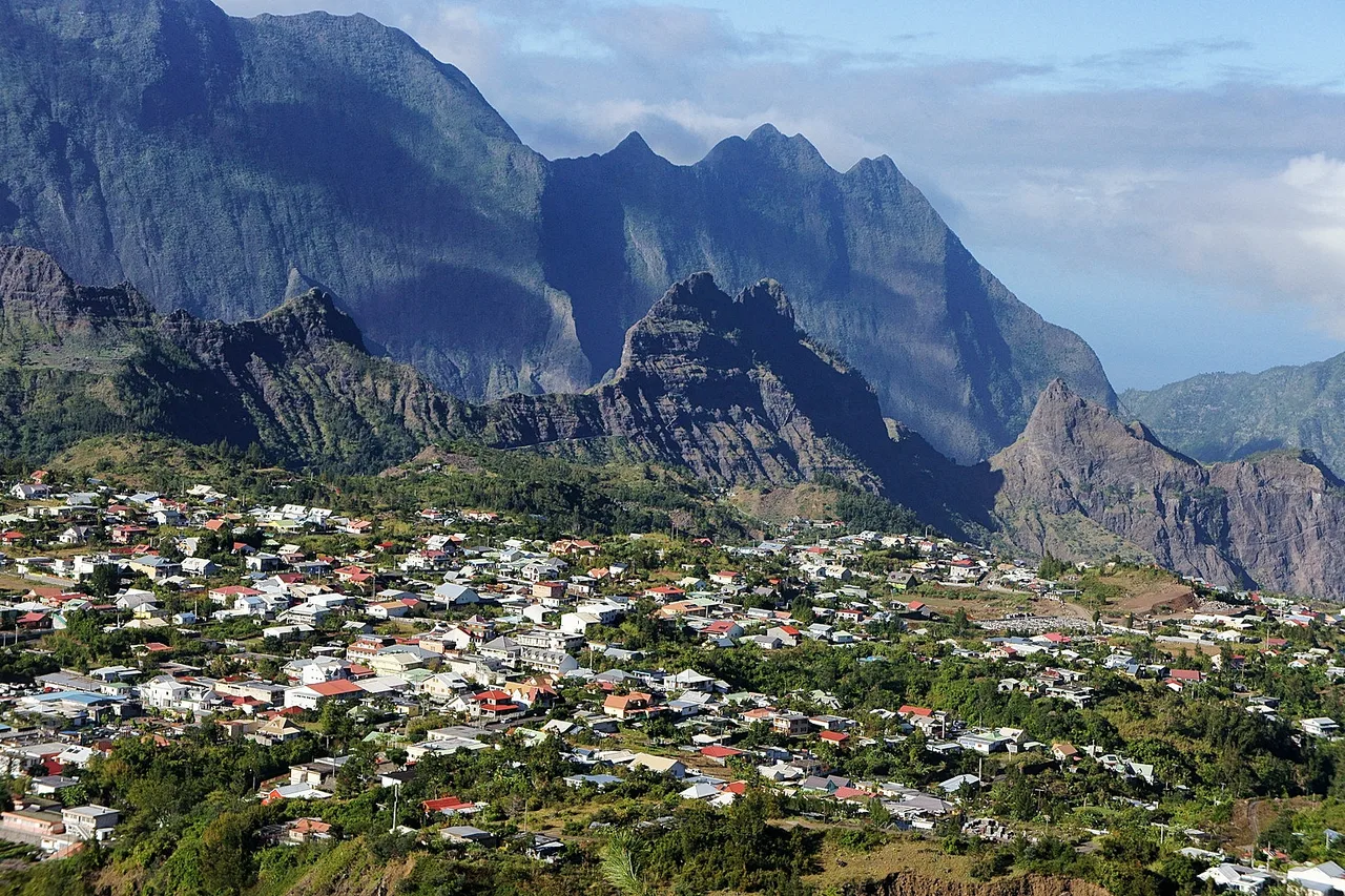
Many visitors “do” Mafate in a day, stopwatch in hand, and it already makes a beautiful day. But the cirque only truly tells its story to those who sleep in it. Book a night in La Nouvelle or Marla, arrive for sunset on the ramparts, listen to the silence return once the last helicopter has gone — and over dinner, let your host explain how life works here, between solar panels, the school and the postman's rounds. The next morning, climbing back towards the pass, you will understand why the Mafatais never wanted a road: their isolation is not something they endure, it is a choice they defend. Among everything Réunion Island has to offer, nothing compares.
The real Réunion, in your pocket
The interactive explorer map: 160 spots checked on the ground, live weather zone by zone and road trips timed on real roads. Free, no account, no card.
Discover Moris Insider →