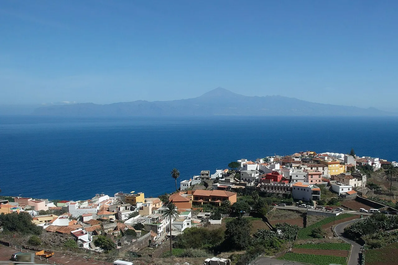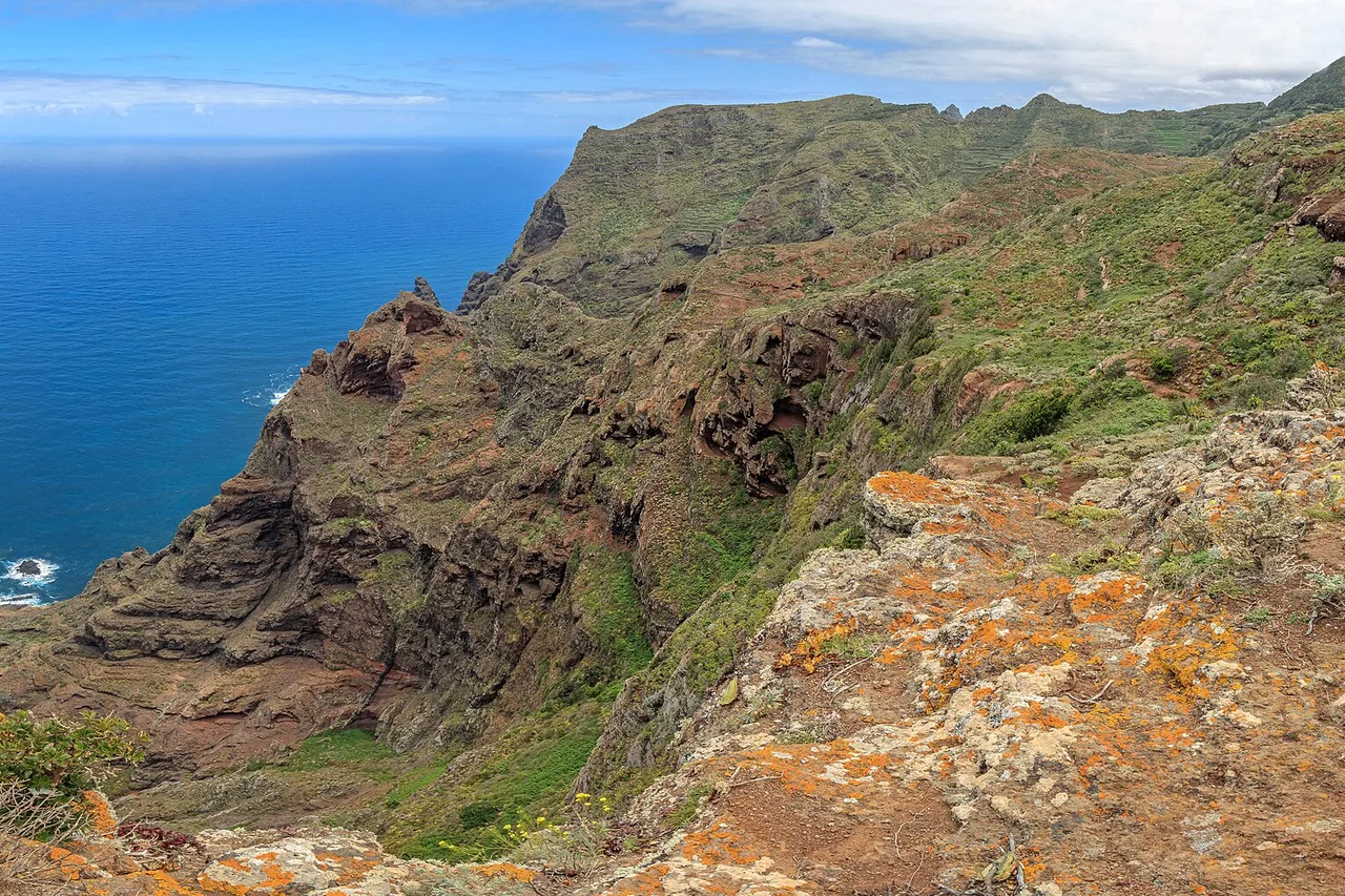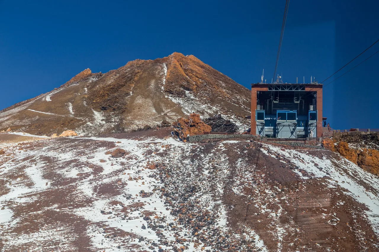
Mount Teide is not a day trip, it is an ascent: 3,715 metres, the highest point in Spain, a UNESCO-listed national park — and a summit that does not give itself away without preparation. Cable car or trail, crater permit, an eco-tax introduced in January 2026, the Altavista refuge finally reopened after five years: the rules have changed, and most guides have not caught up yet. Here is the complete how-to, verified this month — with one tip worth all the others: before you drive up, check today's conditions in the Teide zone, because the island's number-one disappointment is riding up to find the peak wrapped in cloud.
The mountain first: what you need to understand
Teide makes its own weather. It is perfectly normal to have 26 °C at the seaside, a sea of clouds clinging to the northern slopes and a freezing blue sky at 2,300 metres — all on the same day. At this altitude it can freeze in any season, wind can shut the cable car overnight, and snow sometimes closes the summit trails in the middle of winter: as recently as February 2026, the upper routes stayed shut for several days. First practical consequence: you don't plan "Teide on Tuesday", you plan "Teide on the first clear morning".
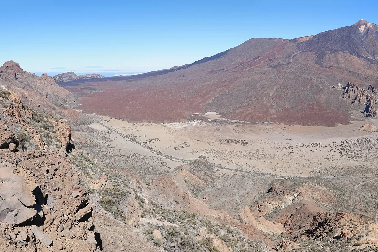
Second consequence: altitude is serious business. Between the upper cable car station and the crater you are moving above 3,500 metres, with a third less oxygen than at sea level. Walk slowly, drink plenty, and turn back without shame if dizziness or nausea sets in; the climb is not recommended for people with heart conditions, pregnant women or young children. Finally, the national park is protected down to the last stone: never leave the marked trails — the fines are real, and this landscape takes centuries to heal. To fit the volcano into a full trip, our guide to the 25 must-sees of Tenerife puts it alongside everything else.
The cable car: prices, hours, and what it does not include
The fast way starts at the base station, 2,356 metres up on road TF-21, and lifts you in eight minutes to La Rambleta station, at about 3,555 metres. Tickets are sold on the official site volcanoteide.com — as of August 2026: €42 return for an adult, €21 for children aged 3 to 13, €10.50 for Canary Islands residents. In summer the cabins run from 9 am to 6:40 pm with the last ascent around 5:40 pm; off season, the last ascent is around 4 pm. Book a morning slot: the air is more stable, and the clouds often rise late in the morning.
What the ticket does not include — and what too many visitors discover up there: access to the summit crater. From La Rambleta, two trails are free and open to all: PNT-11 to the La Fortaleza viewpoint, looking over the northern side, and PNT-12 to the Pico Viejo viewpoint, facing south-west and La Gomera. The final 160 metres of ascent to the peak, however, require the Telesforo Bravo trail permit. Without it you go no further than the station: a warden checks at the trailhead.
The summit permit and the 2026 eco-tax, step by step
The crater can only be reached via trail PNT-10 Telesforo Bravo, capped at around 200 people per day. The permit is personal: it is booked on the official Tenerife ON platform (tenerifeon.es), and every hiker's ID is checked at the start of the trail. New slots are released on Mondays at 7 am Canary time, with a booking window of 56 days (doubled in March 2026 — it used to be 28) — and they vanish within hours in high season. One person may hold only one booking per fifteen-day period.
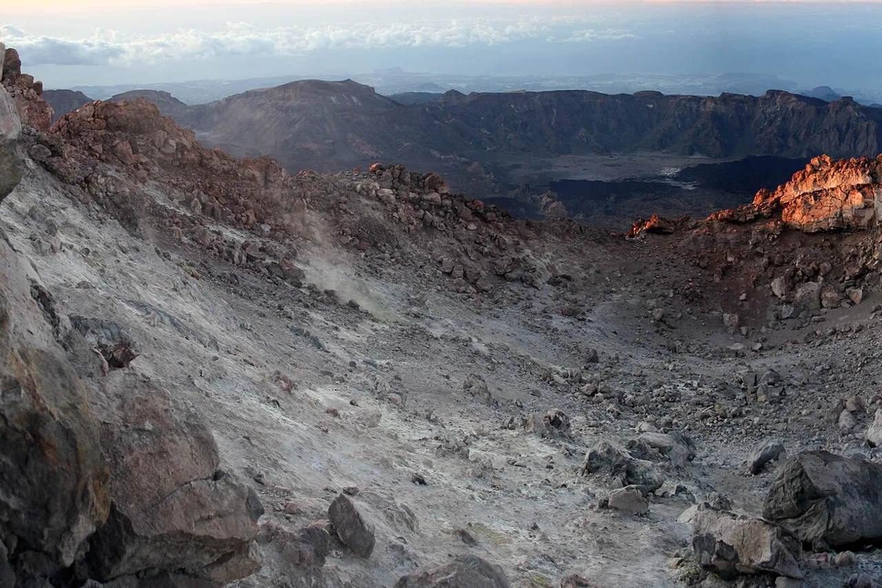
Here is the change most guides have not yet caught: since 19 January 2026, the park applies an eco-tax — the first in its history. On PNT-10 (9 am–5 pm slots): €15 per visitor, €6 for residents of the other Canary Islands, free for Tenerife residents and children under 14. The ascent trail PNT-07 Montaña Blanca–La Rambleta is also covered (9 am–3 pm slots): €3 on weekdays and €5 at weekends for Canarian residents from other islands, €6 and €10 for everyone else. Everything is paid online at booking time. One organisational tip: the permit is secured weeks ahead, the weather reveals itself the day before — build the rest of your week around that slot with the app's agenda, keeping sea and city days in reserve in case the volcano clouds over.
196 Tenerife spots, checked on the ground
Volcano, gorges, natural pools, beaches, local tables: every spot has its page, its access and today’s conditions. Free, no account needed.
Open the free map →On foot via Montaña Blanca: the classic route
Purists climb without the cable: trail PNT-07 starts from the Montaña Blanca car park on the TF-21 and reaches La Rambleta past the "Teide eggs", those black lava balls resting on the ochre slopes. Expect about 1,400 metres of ascent on genuine high-mountain terrain: no technical difficulty in fair weather, but the altitude slows every step, the sun beats down without a single tree of shade, and the cold drops suddenly with the wind. Start early, carry three litres of water per person, and remember the cable car ride down is never guaranteed — if wind closes it, you walk back down.
Full guide: Renting a Car in Tenerife: Pitfalls and Smart Tips
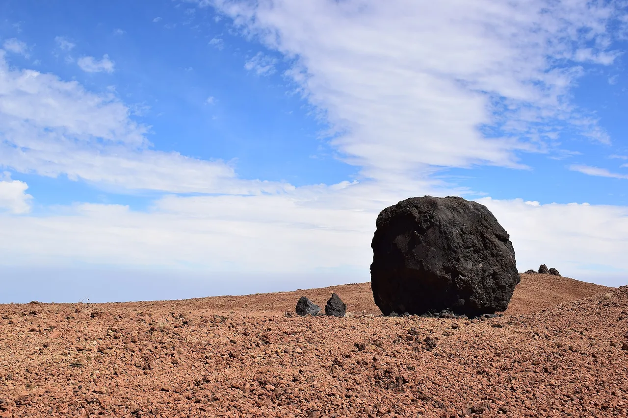
PNT-07 combines with the Telesforo Bravo permit for a full ascent to the crater — the finest way to earn the summit, and the most demanding. To prepare the day, trace the route on the explorer map: it strings together the car park, the caldera viewpoints and your return stops with real driving times — inside the park, kilometres tell you nothing about how long they take.
Altavista reopened: a night at 3,260 metres, summit at dawn
This is the event of summer 2026: after five years of closure, the Altavista refuge reopened on 20 July, fully renovated — solar panels, water treatment, 49 beds. Perched at 3,260 metres on the Montaña Blanca trail, it brings back the legendary formula: climb in the afternoon, a short night under one of Europe's purest skies, then the summit at sunrise, when the volcano's triangular shadow stretches across the ocean all the way to La Gomera.
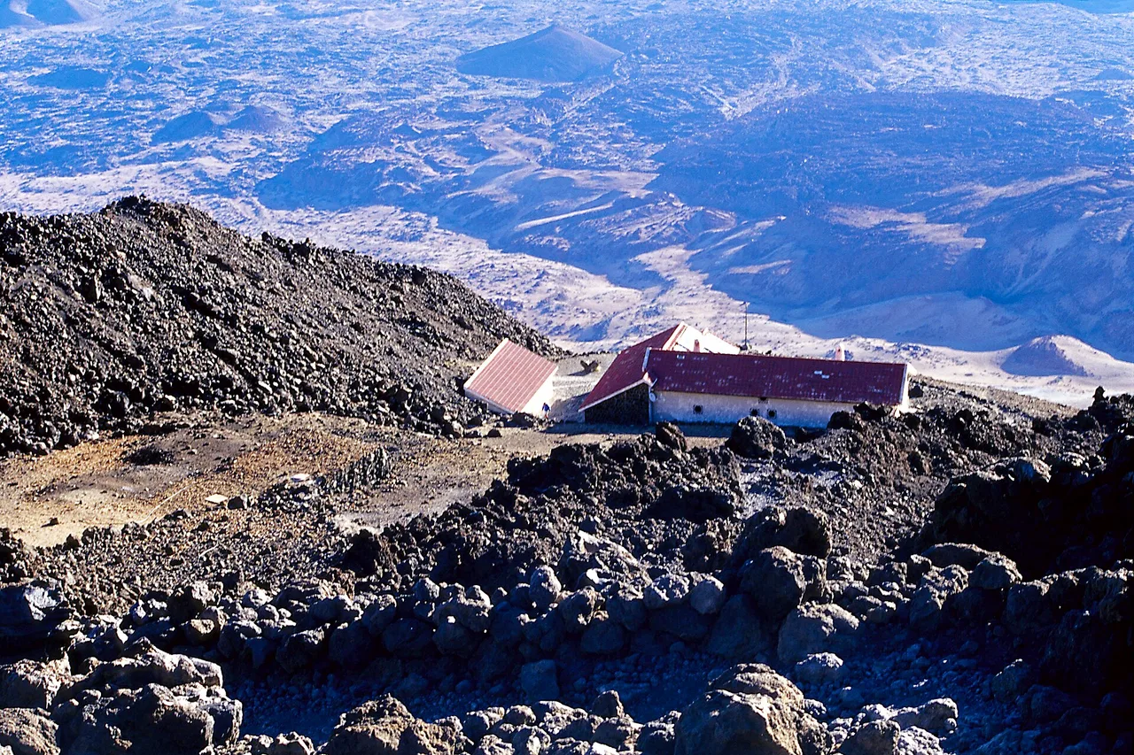
The rules are simple: booking exclusively online on the refuge's official website, one night only per stay, overnight from 7 pm to 8 am (the building can be visited freely from 11 am to 5 pm). And the decisive perk is official: an overnight stay includes authorisation for the Telesforo Bravo trail between 6 and 9 am the following morning — no separate Tenerife ON application, your booking confirmation serves as the permit with the park wardens. And do not underestimate the night: at this altitude sleep is light, the cold is real even in August, and the wake-up call happens by headtorch.
Full guide: North or South: Where to Base Yourself in Tenerife
The big day: what to pack, when to turn back
In the pack, whatever the season: a warm windproof layer, hat and gloves, high-category sunglasses, sunscreen, plenty of water and something to eat — it is easily 20 degrees colder than at the coast, and altitude sun burns in an hour. Real walking shoes, even for the cable car version: the La Rambleta trails are stony and frozen in the early morning. And one principle: the mountain decides. Wind forecast above 60–70 km/h, a sea of clouds that will not lift, a headache that settles in — you go down; Teide will still be there tomorrow.
The right reflex takes one gesture: every morning, a glance at the Nature spots in the app and their conditions for the day, zone by zone — the Teide zone has its own column, hour by hour. After the climb, keep a record: the travel journal stores your sunrise photos, your notes and the exact time you touched the highest point in Spain. Some memories deserve an archive.
The real Tenerife, in your pocket
The interactive explorer map: 196 spots checked on the ground, live weather zone by zone and timed road trips on the real roads. Free — no account, no bank card.
Discover Moris Insider →