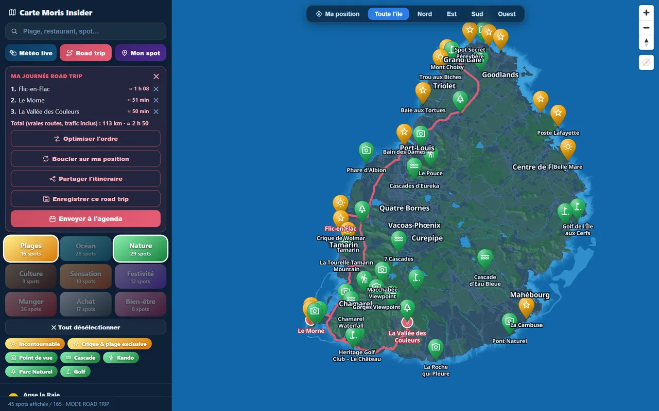
People fly to Mauritius for the lagoon — and go home having climbed mountains. Few visitors realise it: this small island of 65 by 45 km packs a UNESCO-listed summit, a national park with 60 km of trails, ridges towering over the capital and waterfalls you can swim in after the effort. Here are our six favourite hikes — the ones we keep doing ourselves — with real figures and honest advice. And to place every trail, everything is already pinned on the interactive explorer map, weather included.
Budget tip: in Mauritius, part of your activities can cost you less. See how to save with discounts on your activities.
We live here and run Moris Insider, the Mauritius guide and map co-created with locals. This guide sells nothing: no made-up prices, no understated difficulty. Just the trails we love, in the order we recommend them to visiting friends.
Le Morne Brabant: the iconic climb
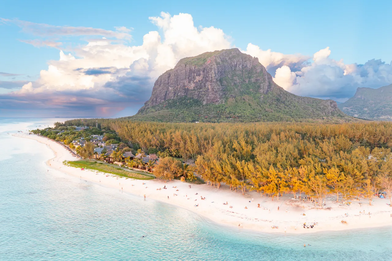
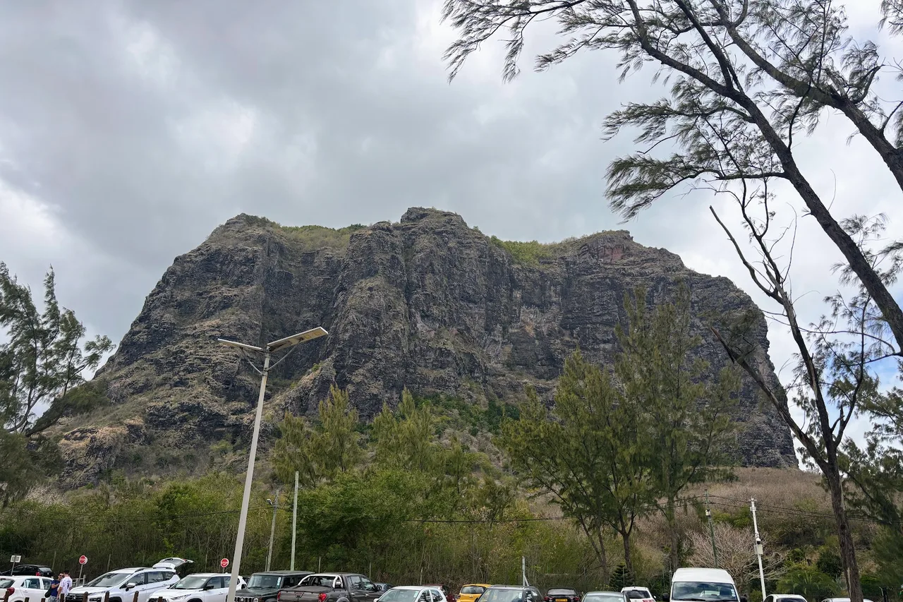
If you only do one, make it this one. Le Morne Brabant (556 m), on the south-western tip, has been a UNESCO World Heritage site since 2008: the mountain was a refuge for escaped slaves, and you don't climb it quite like any other. Allow 3 to 4 hours round trip: the first part rises through forest on a wide trail, manageable for any regular walker, then the summit section is much steeper, with hands-on scrambling — which is why a guide is recommended for it.
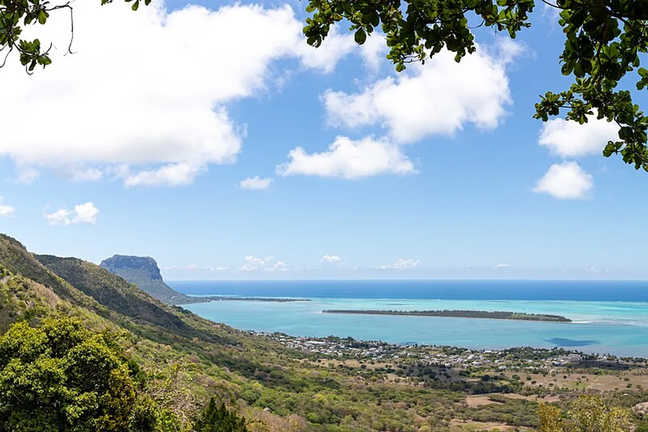
The reward is immense: the Le Morne lagoon unrolls its shades of blue beneath your feet, kitesurfers stitching white lines across the water. We've written a full guide to Le Morne — hike, beach and kitesurf — if you want to build a whole day around the mountain.
Black River Gorges: the great national park
In the south-west, Black River Gorges National Park is the island's green lung: created in 1994, it protects 67.54 km² of forest — the largest national park in Mauritius — criss-crossed by some sixty kilometres of trails. This is where the island's roof hides, Piton de la Petite Rivière Noire (828 m), and where you meet original Mauritian forest: tree ferns, ebony trees, and birds that exist nowhere else on Earth, like the Mauritius kestrel and the pink pigeon, both pulled back from extinction.
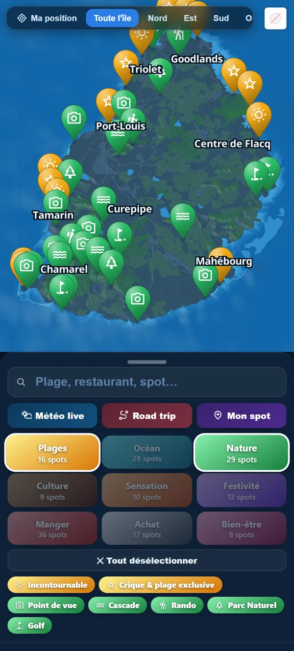
The classic trailheads are around Pétrin, up on the plateau, or the Black River entrance on the coastal side: marked trails, dizzying viewpoints over the gorges, and that rare feeling of having a tropical forest to yourself. On a clear day, some lookouts stretch all the way to Le Morne and Île aux Bénitiers. To find the trailheads and pick your loop, the island's nature spots are sorted on the map, from waterfalls to viewpoints.
Le Pouce: the balcony of Port Louis
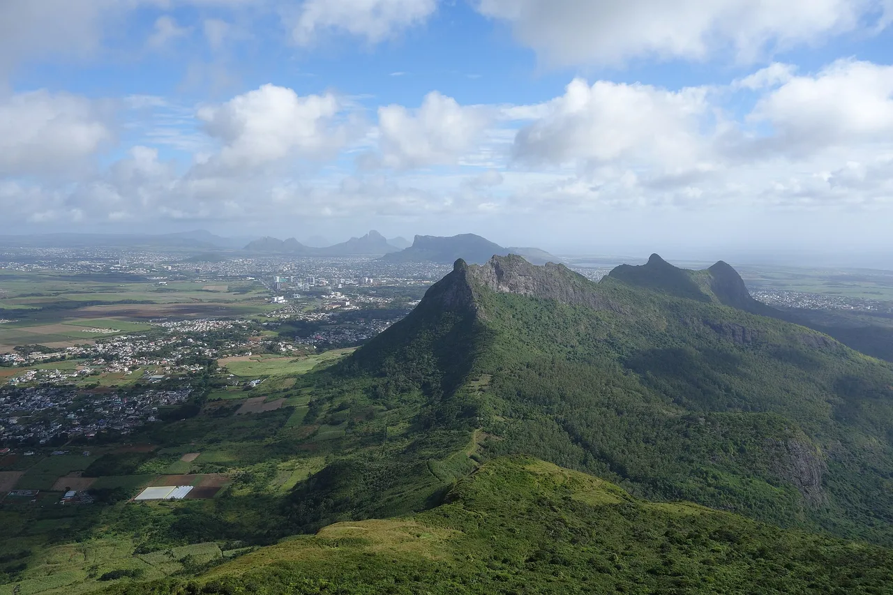
The island's third summit at 812 metres, Le Pouce owes its name to its shape: a thumb raised above the capital. It's our number-one tip for a first Mauritian hike: depending on your start point (the La Laura saddle on the Moka side, or the Port Louis flank), allow two to four hours round trip, with about 400 metres of climbing on the classic route. The trail follows the crest of the Moka Range, the island opening up on both sides — that's the view on our banner.
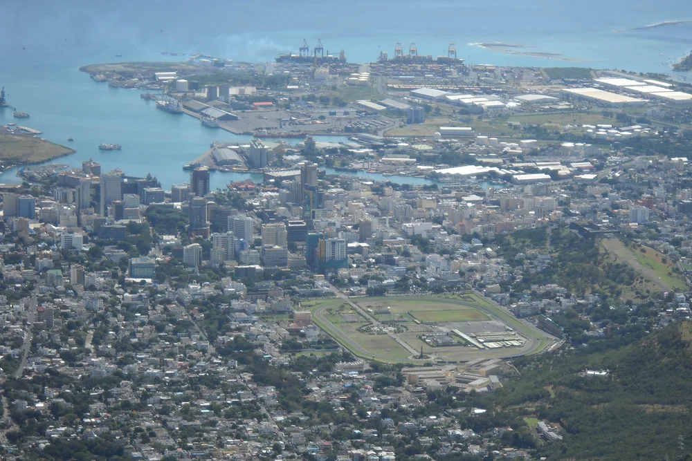
A small local pride: Charles Darwin himself climbed Le Pouce on 2 May 1836, during the Beagle's stopover in Mauritius. From the top, Port Louis spreads out below — the harbour, the Champ de Mars racecourse, the packed rooftops — with the northern islets on the horizon. A panorama you don't forget.
Pieter Both and Lion Mountain: for adventurers
Craving more adrenaline? Pieter Both (823 m), the island's second summit, is instantly recognisable: a round boulder balancing on its tip, like a head on shoulders. The climb is beautiful, but the finale is not to be improvised: the last section is real climbing, with cabled passages and air under your feet — you go with a guide, not in flip-flops after the hotel buffet.
In the south-east, Lion Mountain (about 440 m) watches over Vieux Grand Port, where Mauritian history began. The route follows the lion's spine: short but physical, with sections where you use your hands. Up top, a 360° panorama over Grand Port bay — scene of the famous naval battle of 1810 — and the south-eastern lagoon. Two more committed summits, two moods, one common rule: check the weather before setting off, because wet rock changes everything. A glance at today's conditions zone by zone spares you bad surprises.
Explore the island like an Insider
Moris Insider brings together 225 hand-picked places, today's weather coast by coast and a road trip planner on real roads. Free, no account, no card.
Try it free →Tamarind Falls: the waterfall hike
Change of scenery near the village of Henrietta, on the plateau: Tamarind Falls, which everyone here calls 7 Cascades, is a hidden valley where waterfalls tumble down nearly 300 metres of drop. You walk through forest, cross rivers, and above all you swim: the natural pools at the foot of the falls are the island's finest reward after effort. Be aware that there is no proper marked trail: going with a local guide is strongly advised — they also know which pools are safe for swimming.
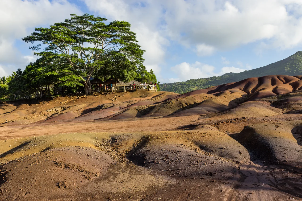
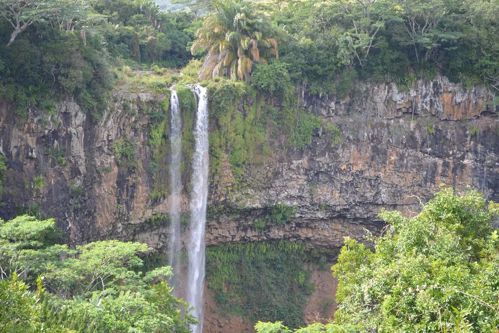
Waterfall lovers can follow up with Chamarel Waterfall, the island's tallest single drop, admired from its viewpoint — we cover it all in our Chamarel guide, Seven Coloured Earth included. And after the walk, your finest stages deserve a trace: the travel logbook turns your summits into a shareable keepsake map.
Practical tips: season, gear, safety
The best season for hiking is the austral winter, May to October: drier air, milder temperatures — perfect for effort. In summer (November to April) you can still walk, but only at dawn, with plenty of water, and never during cyclone alerts. Gear-wise, proper shoes with grippy soles are enough almost everywhere: volcanic rock turns soapy as soon as it rains, and Mauritian trails are steeper than they look.
Three local reflexes to finish: check the zone's weather that very morning — plateau weather is not coast weather; respect private property and use official access points, especially at Le Morne; and tell someone before setting off on a committed route. To slot your hikes into the right day of your trip, the weekly agenda places each summit on the right day, weather-matched. And to link trails, beaches and lunch spots into one loop, our guide to the island's map shows how to build a timed road trip on real roads.

A word from the locals
We're often asked for "the best hike in Mauritius". Our honest answer: the one that matches your day. A crystal-clear winter morning? Le Morne or Le Pouce, no hesitation. A windy day on the coast? The sheltered forests of the gorges. Craving coolness? 7 Cascades and its pools. The island is small, the mountains are close: here, you pick your summit the way you pick your beach — by the day's sky.
And maybe that's the real Mauritian luxury: climbing a UNESCO-listed summit in the morning, then soaking your sore legs in a turquoise lagoon in the afternoon. Few islands in the world offer both within an hour's drive.
The real Mauritius, in your pocket
The interactive explorer map: 225 hand-picked places, real-time weather coast by coast and timed road trips. Free, no account, no card.
Discover Moris Insider →