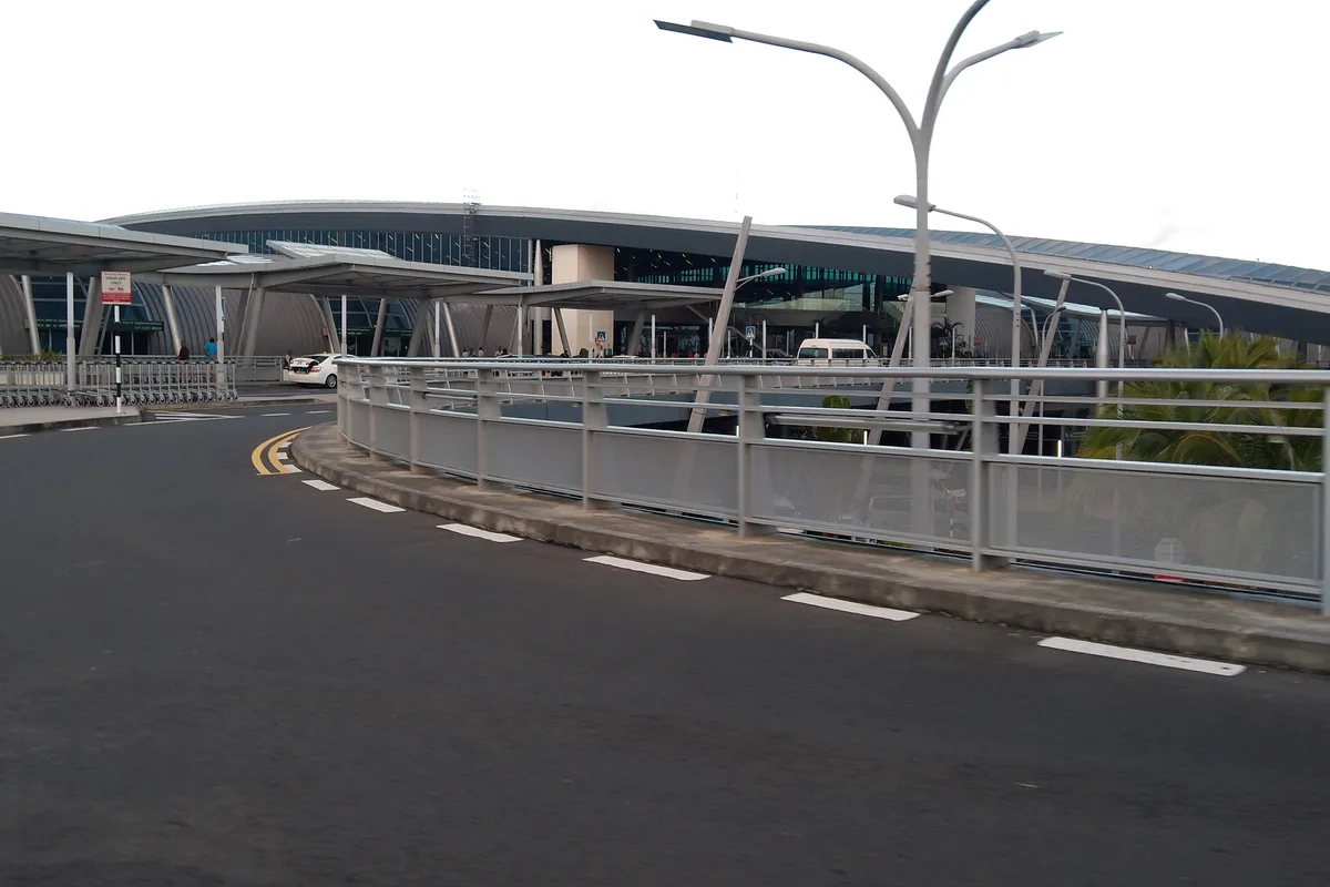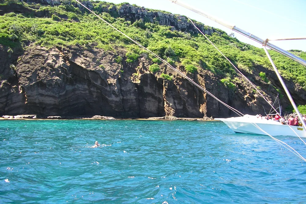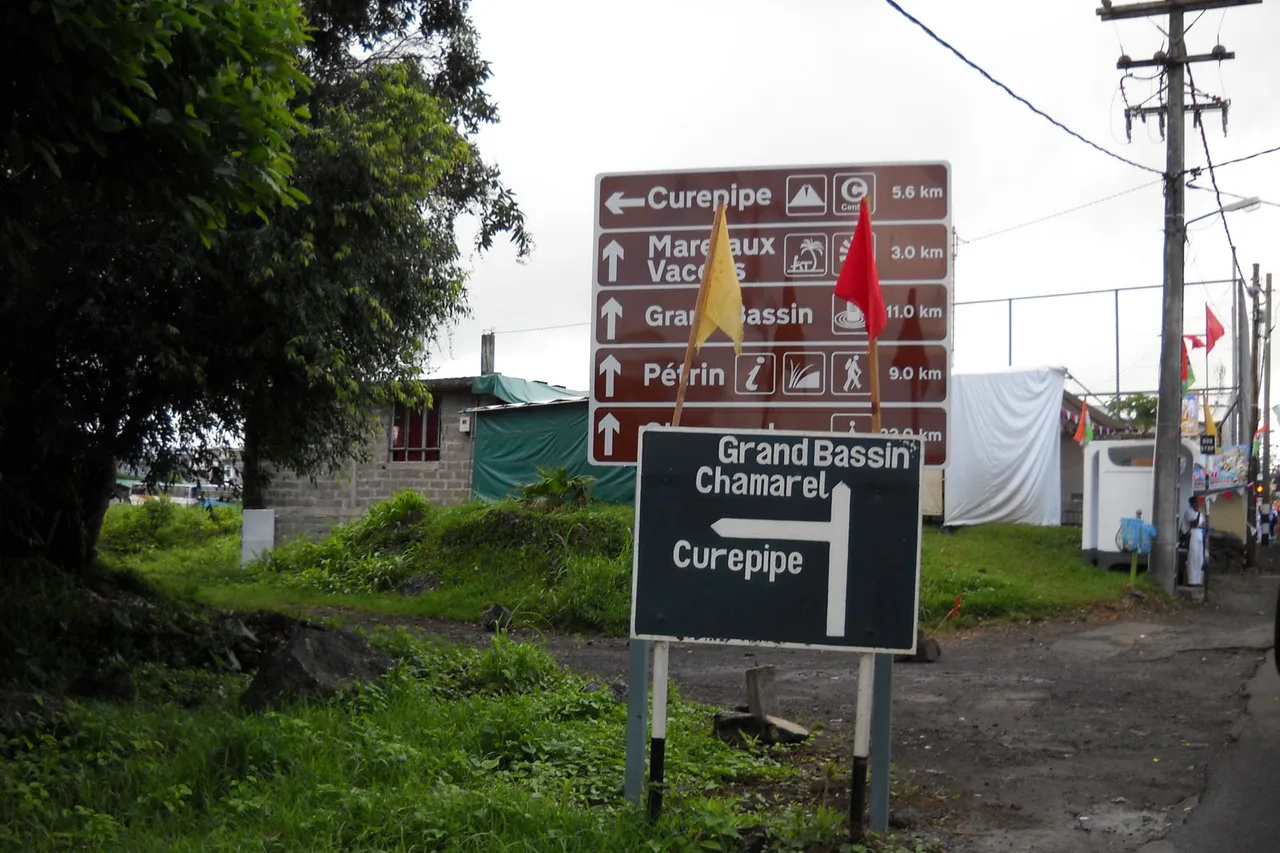
Baie du Cap, twenty to twelve, and I have just driven past it for the second time. The name is right, the road is right, but the way in is a gap between two stone walls, with no sign, and my phone has dropped its pin in the middle of the village. In Mauritius the road is almost never the problem: the last kilometre is. That is exactly what two buttons in the app deal with, and every place sorted by mood carries the coordinates of its real access, not those of the nearest settlement.
Budget tip: in Mauritius, part of your activities can cost you less. See how to save money with discounts on your activities.
The road is not the problem — the last kilometre is
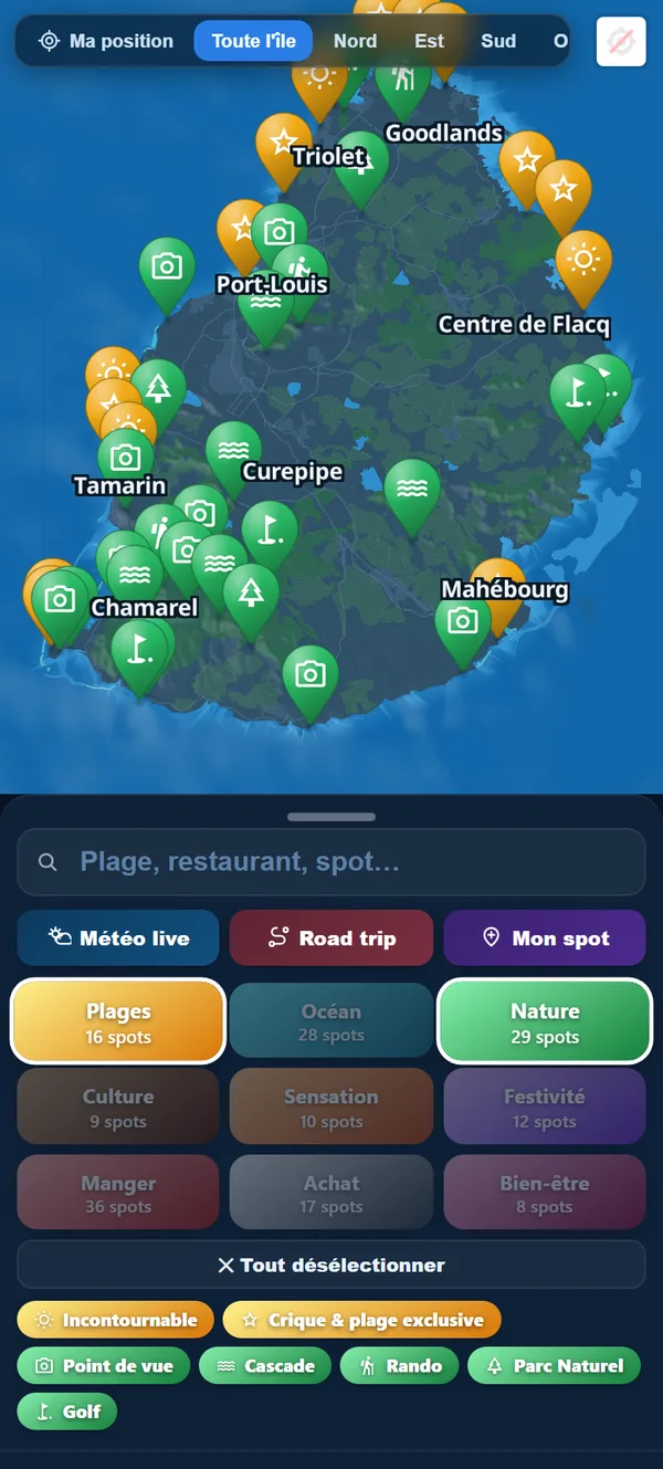
Mauritius fits inside a square of sixty-five kilometres by forty-five. Nothing is ever far, and the main arteries are clear: the motorway climbing from the south into Port Louis, the coast road, the crossings over the central plateau. A visitor who gets lost in Mauritius does not get lost over a hundred kilometres. They get lost over the last three hundred metres.
The reason is simple, and it is not a fault: many addresses on the island describe an area rather than a door. “Coastal Road, Trou d’Eau Douce” covers several kilometres of shoreline. A dirt track between two cane fields usually has no name at all. A beach car park is sometimes two hundred metres before the spot where everybody stops, and the entrance to a seafront kitchen is regularly a bare gate between two walls, with nothing to mark it out for anyone who has never seen it.
So you type the name into a mapping app. It finds the village, it takes you there perfectly well — and then it leaves you to it. The rest is you: slowing down, turning, turning back, asking again. Nothing dramatic, but do it three times in a day and you have lost an hour across four visits. That hour is the one I wanted back.
One button, and the GPS aims at the right point
Open the page of a place — a beach, a table, a waterfall. Right under the photo sits a row of four actions: Directions, Planner, Share, Favourites. Tap the first one. Your navigation app opens, already in route mode, on the latitude and longitude of the access. Not on a name, not on a village: on a point.
Put differently, and in the order that matters. The feature: every page carries coordinates recorded one by one, at the place where you park or where you walk in. The advantage: the button passes those coordinates straight to your GPS, without going through a name search that can land next door. The benefit: you stop in the right place first time, and you do not end up asking for directions in the middle of a cane field from someone who will very kindly point you to the entrance next along.
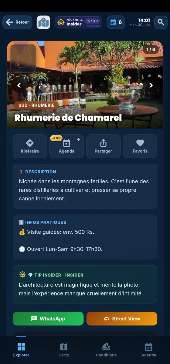
The same gesture appears twice, in two places, because you do not read a page the same way at different moments. At the top, the action row is for when you are still weighing up several beaches in the same corner. Right at the bottom, after the description, the tips and the conditions, the button is called “Go there now” — and by that point the decision is made.
A small detail that turns out to matter: the first time you launch directions to a place, the app credits you three experience points. Once per place, never twice — the levels are there to reward discovery, not pressing the same button a dozen times.
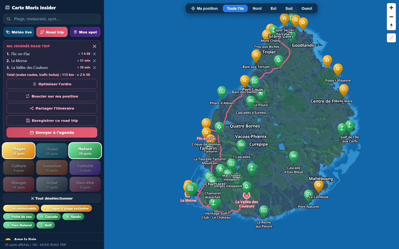
Those same coordinates do work elsewhere, without anyone thinking about it. They are what the app uses to compute the distance between two places, the travel time shown beside each stop and the order of a road trip. A point dropped in the right spot does not only get you there straight: it makes every calculation that follows correct. A point dropped in the middle of a village shifts the whole day by a few minutes at every stop — and that is how a workable plan turns into a running-late plan.
Street View: recognise the entrance instead of hunting for it
Under the practical notes, a second row appears: the phone number where one exists, the website, and an orange Street View button. It opens Google’s panorama at the exact point of the place. In twenty seconds, before you even set off, you see the wall, the gate, the colour of the roof, the bend just before.
It sounds mundane and it is surprisingly effective in practice: looking for an entrance you have never seen is hard, recognising one is easy. The brain is excellent at the second task and poor at the first. Thirty seconds of panorama the night before turns a search into a recognition.
There is invisible work behind that button, and it is the part I am proudest of. The button does not appear everywhere. A file kept up to date every week states, point by point, whether Google actually holds imagery there. Before it existed, the button showed on every place — and roughly one place in four opened a map with no panorama at all, which is to say a dead end. Today, if there is nothing to see, there is no button. Of the 165 places in Mauritius, 120 have a panorama at the latest survey, taken on 7 August 2026; the rest simply do not offer it.
The principle goes beyond this one button: the island map only shows what it can genuinely show, and a page does not promise a contact that does not exist. A button that disappoints costs more than a button that is absent.
A whole day sent across in one go
One place at a time is fine for a whim. A whole day is another matter. When several places sit on the same day in your trip planner, the app traces the route and displays, under the map of the day, a line that sums it all up: how many stops are left, the total distance and the accumulated driving time.
Full guide: Renting a Car in Mauritius: Tips & Pitfalls to Avoid
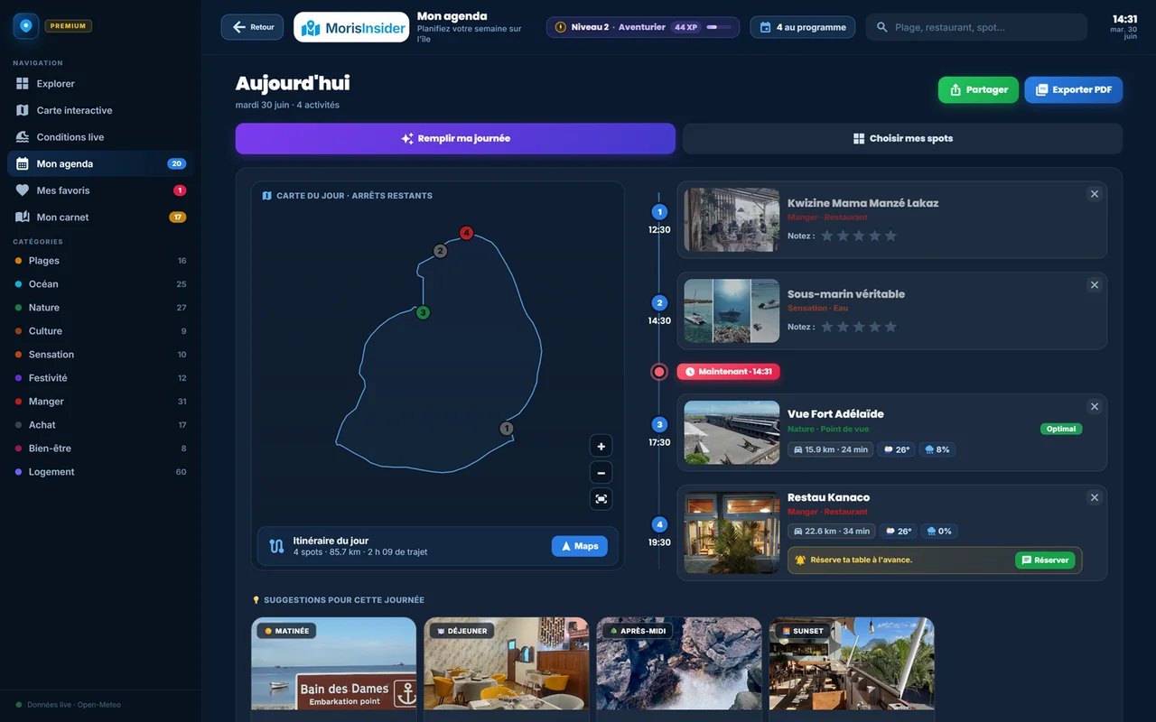
The Maps button on the right of that line opens the whole trip in your navigation app, with the stops in the order you placed them. You do not relaunch directions at every stop: you launch one for the day. It is the natural extension of the timed road trips, and of what the article on the “My week” planner describes: the app does not only say where to go, it knows in which order.
This is also where driving time stops being guesswork. Two equally tempting restaurants can be ten minutes or fifty minutes away from the rest of your day, and in Mauritius the difference does not show on a map: it shows in the relief, the villages you cross and the hour the schools come out.
What directions will not do
This is the part I am most determined to write, because a limit kept quiet is a guaranteed bad surprise.
The app is not a satnav. It does not talk to you in the car, it recalculates nothing, it knows nothing about traffic. It hands over to the navigation app you already use, with the right coordinates — and that needs a signal at the moment you tap. Up on the plateau and in some gorges, launch the route before you commit to it.
Directions and Street View are part of the app, at €24.90 once and for all. I would rather write it here than let you find out as you are leaving. Everything else — the categories of places, today’s conditions, the travel journal — is part of it too.
And Street View, in Mauritius, is not the Google car. It has barely driven the island. What you see are panoramas uploaded by individuals and by virtual-tour studios. That is genuinely useful — but quality varies from point to point, some images are several years old, and a gate may have been repainted, a track widened, a sign replaced since. Take them for what they are: a visual landmark, not a survey.
One last thing, which is not a limit but a consequence. Because the button disappears where there is nothing to show, its absence is information in itself: the place is probably off to one side, poorly served, or simply not much travelled. On this island, that has never been a bad sign.
Arrive first time
Every place carries the coordinates of its actual access. One button, and your GPS aims at that point — not at the middle of the village.
Discover the app →