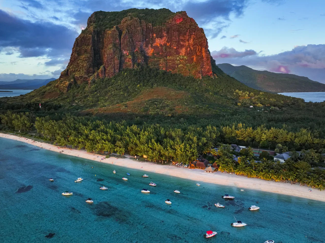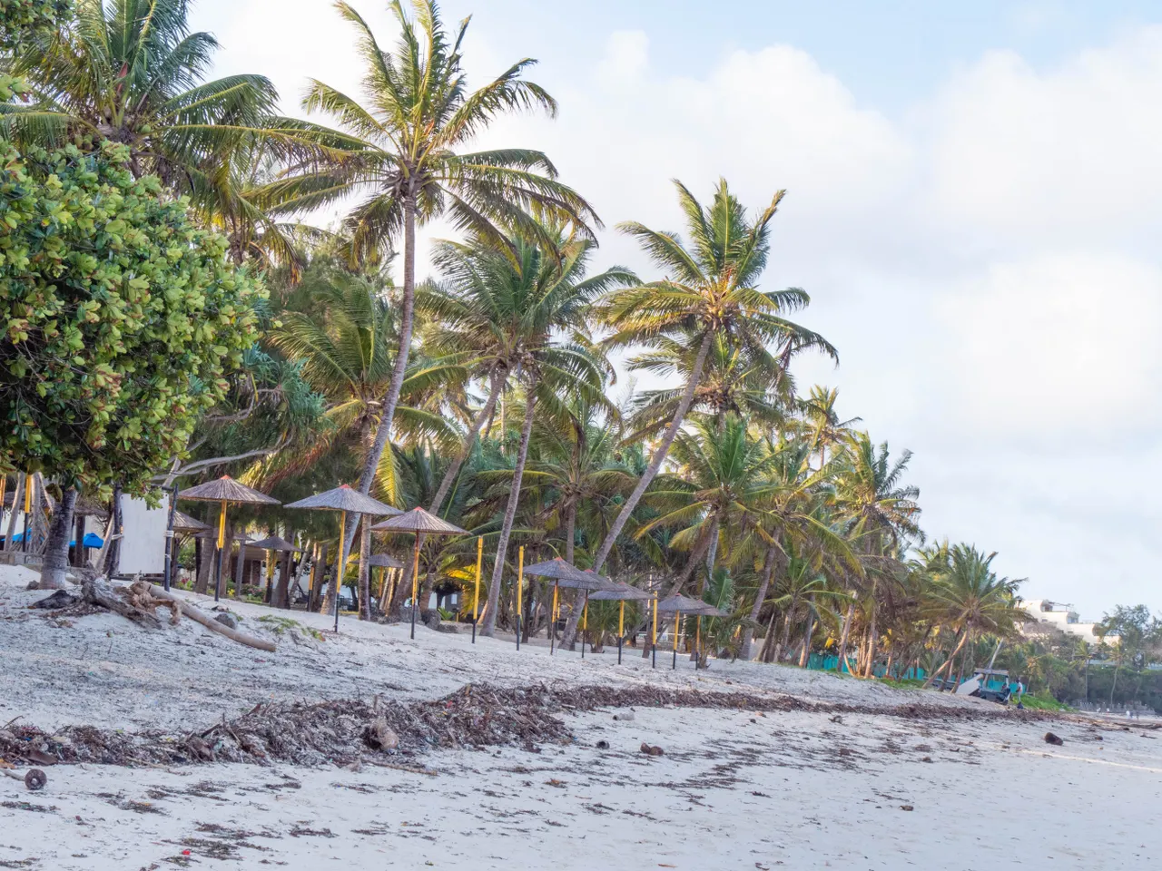
A map of Mauritius is not just an island drawn on the Indian Ocean: it is the key to your whole trip. Knowing which coasts are sheltered, why the south feels so far away, and how to link three wishes into one day — all of it can be read on the map, once you know how to look. Here is the island explained region by region, with real driving times and the classic reading traps, and how the interactive explorer map turns that drawing into great days out, weather included.
Budget tip: in Mauritius, part of your activities can cost you less. See how to save with discounts on your activities.
We live here and run Moris Insider, the Mauritius guide and map co-created with locals. This guide sells nothing but ground truth: verified figures, locals' bearings, and one promise — that after reading, the map of Mauritius will never look abstract again.
The island at a glance: the map in numbers
Let's set the scene. Mauritius fits in an oval of roughly 65 km by 45 km, with an area of about 1,865 km² and some 330 km of coastline. A turquoise lagoon rings almost the entire island behind its coral reef — that is what gives Mauritian beaches their calm, shallow water. The capital, Port Louis, sits on the north-west coast; the airport lies diagonally opposite in the south-east, near Mahébourg. First map lesson: on arrival day, most travellers cross the island corner to corner.
In the centre, a highland plateau carries the inland towns (Curepipe, Quatre Bornes) and a surprising amount of relief for so small an island: Piton de la Petite Rivière Noire (828 m) in the south-west, Pieter Both (823 m) with its famous balancing boulder, and Le Pouce (812 m) above Port Louis. Administratively the island splits into nine districts (ten for the Republic, counting Rodrigues) — but no traveller thinks in districts. Everyone talks coasts, and that is exactly how we will read the map.
The four coasts: four moods to read on the map
Look at the map and mentally cut the island into quarters. The north (Grand Baie, Trou aux Biches, Cap Malheureux) is the liveliest: easy beaches, restaurants, nightlife, and a generally calm sea. Offshore, the northern islets — including the spectacular Coin de Mire — frame the horizon. It is the ideal base for a first visit, and one of the best-connected areas by road.
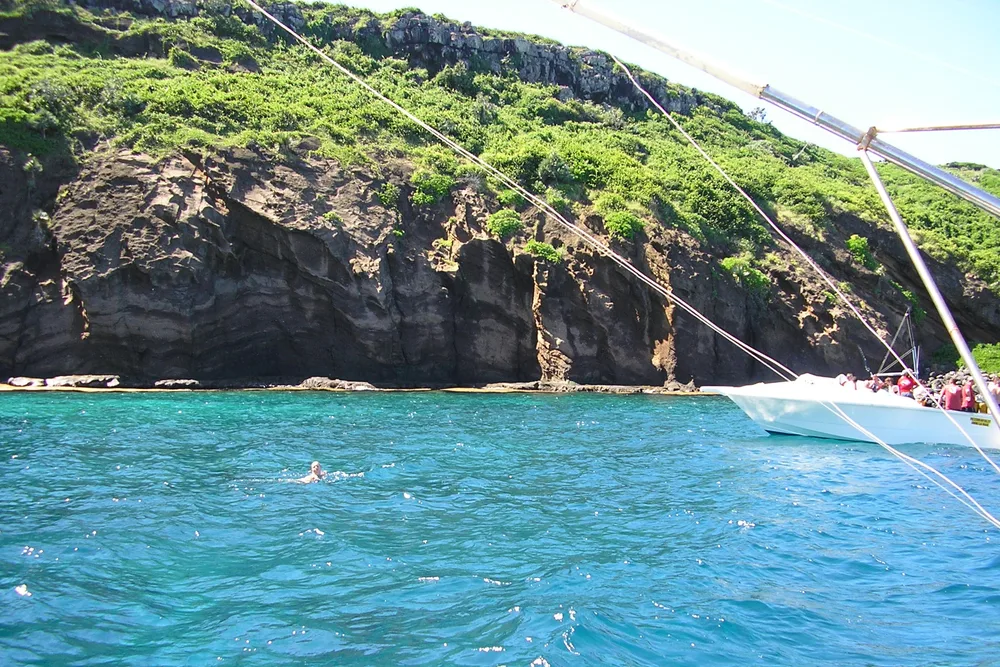
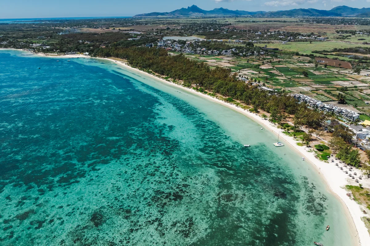
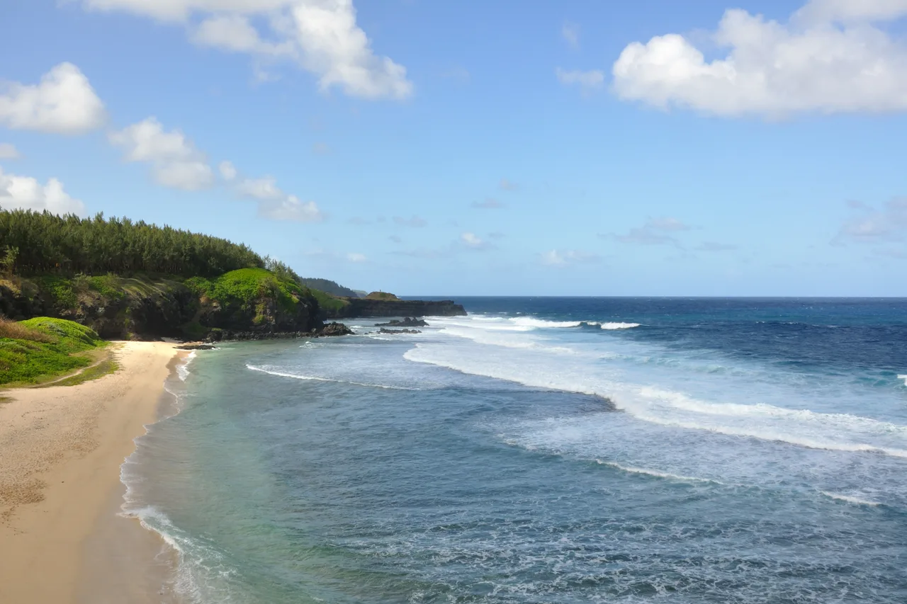
The east (Belle Mare, Trou d'Eau Douce) lines up long beaches and gorgeous lagoons, facing the wind: the south-east trade winds blow here much of the year — a real blessing against the heat, worth knowing before you pick your season. This is also where boats leave for Île aux Cerfs. The south is the wild quarter of the map: the Gris-Gris cliffs, a coast pounded by open ocean where the reef breaks off, authentic villages — Mauritius as it was before tourism. Finally the west (Flic en Flac, Tamarin, Le Morne) is the sheltered quarter: protected from the trades, sunset after sunset, dolphins off Tamarin and the silhouette of Le Morne Brabant as the grand finale. To place every beach across these four quarters, all the island's beaches are organised on the map, from the classics to confidential coves.
Distances and driving times: what the map won't tell you
This is THE classic trap. On the map, Grand Baie to Le Morne looks like a stroll: allow well over an hour. A motorway (M1, M2, M3) runs the length of the island, serving Port Louis and the airport — the fast axis, about two hours end to end. Everything else happens on coastal and village roads: roundabouts, speed bumps, schoolchildren, markets… Average speeds drop fast, and honestly, that is part of the charm: these roads are part of the journey.
Two local reflexes for reading distances: first, avoid Port Louis at rush hour (morning and late afternoon) — traffic can cost you an hour; second, think "coast by coast" rather than "around the island" — grouping your activities by map quarter saves hours of driving. And before choosing your quarter for the day, a glance at today's conditions coast by coast saves you crossing the island only to find choppy sea and grey sky on the other side.
Explore the island like an Insider
Moris Insider brings together 225 hand-picked places, today's weather coast by coast and a road trip planner on real roads. Free, no account, no card.
Try it free →Paper, GPS or interactive map: which one?
Let's be practical. A paper map has charm and earns its keep when the signal drops in a remote corner — fine as a backup. Your phone's GPS works very well across the island and remains king for road navigation: a local SIM or a data plan is all you need — travellers from the UK, India or South Africa will feel right at home driving on the left, too. But both share one limit: they tell you how to get somewhere, never where to go, nor when.
And in Mauritius, the "where" and the "when" make the whole trip: the same day can be glorious in the west and grey in the east, a magical beach at high tide can disappoint at low tide, and the island's gems appear on no road map. That is precisely the gap an exploration-first map fills — one designed for travel, not for driving.
The explorer map: the whole island, filtered by mood
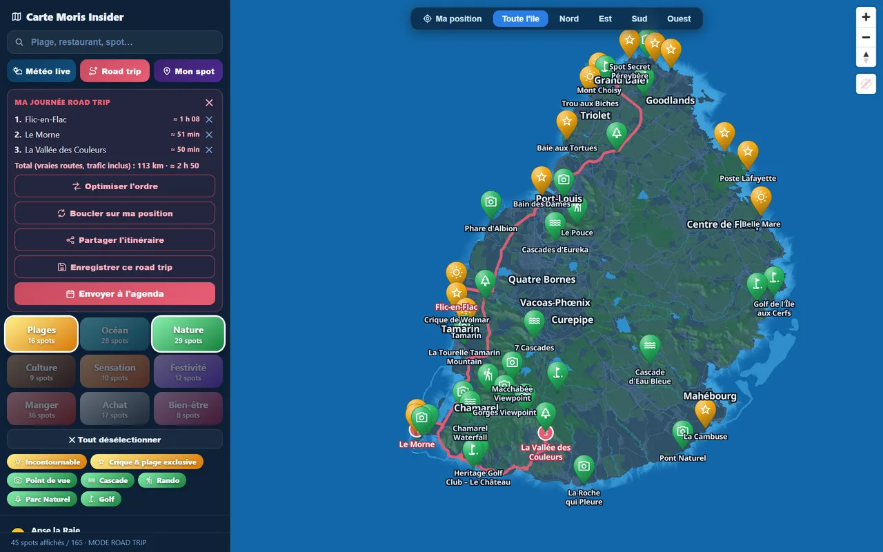
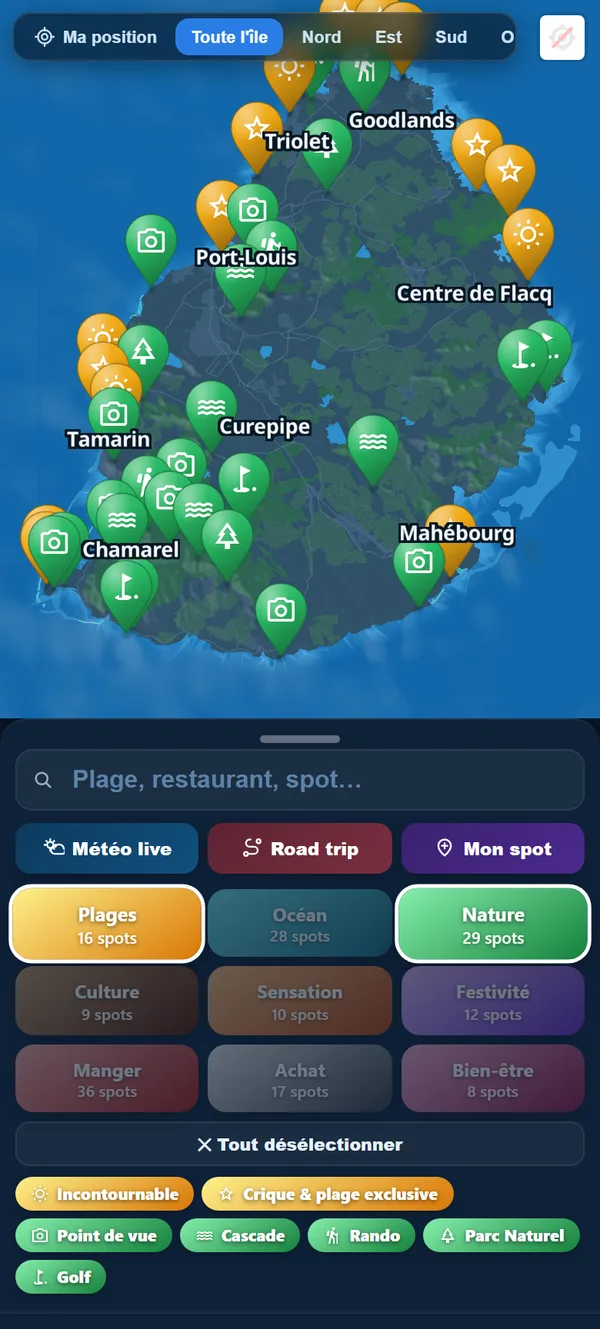
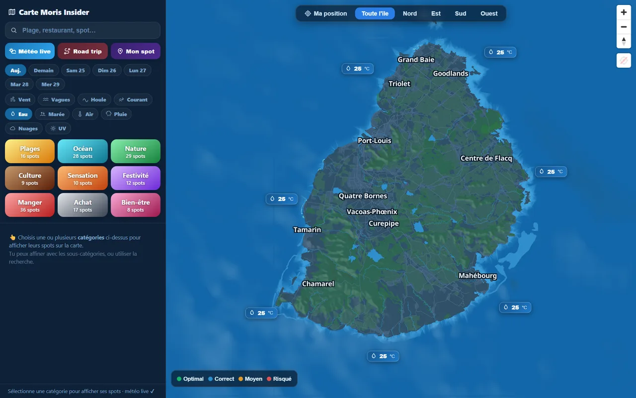
This is the heart of Moris Insider, and it is free: a map of Mauritius where 225 hand-picked places appear by category — beaches, ocean, nature, culture, food, thrills… Filter by mood and the map redraws itself: show only waterfalls and viewpoints on a hiking day, only beaches and street food on a lazy one. Every pin opens a page with access, current conditions and locals' tips — browse all the categories here.
What sets it apart from a classic map is the living weather: sea conditions are displayed zone by zone right on the map — wind, waves, today's weather, coast by coast. You literally see which quarter of the island is having its best day. Combine that with the four-coasts reading above and you will no longer "visit" the island: you will play it like a local, always on the right side.
From map to road trip: your day, timed
Final step: turning the map into a day. The explorer map's road trip mode lets you pin your stops — say Flic en Flac, Le Morne, then a valley in the south — and computes the route on real Mauritian roads, traffic included, with the time for each leg. You see instantly whether your plan fits the day or needs one stop fewer. The visiting order can be optimised, the loop closed back on your position, and the whole thing sent to your weekly agenda in one tap.
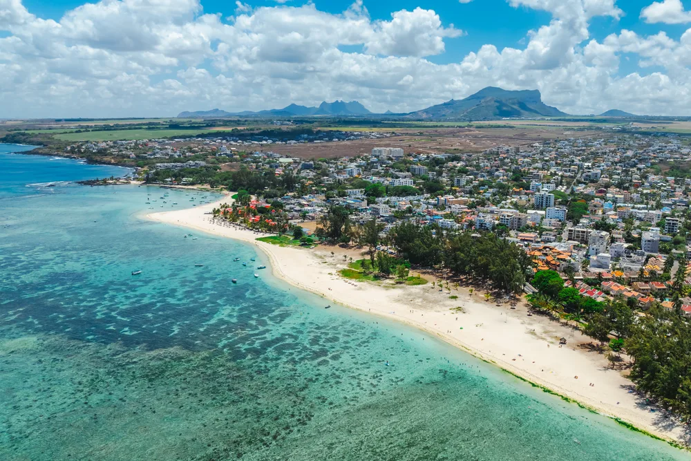
For inspiration, start from our 7-day itinerary or the guide to secret beaches, pin whatever speaks to you, and let the map count the minutes. At the end of your stay, your saved stops become a shareable souvenir map from your travel journal. And if you are still wondering whether to hire a car for all this, our car rental guide answers every question.
A word from the locals
We grew up with this map before our eyes, and we still rediscover it every week. The advice that sums it all up: do not try to "do the island tour". Pick your quarter of the map each morning by weather and mood, cross-check distances against real driving times, and leave room for the unplanned — the roadside food stall, the nameless cove, the viewpoint that was never on the list.
The map of Mauritius is not large, but it is dense: nine districts, four coasts, hundreds of spots — and years of discoveries. Start by reading it, then let it surprise you.
The real Mauritius, in your pocket
The interactive explorer map: 225 hand-picked places, real-time weather coast by coast and timed road trips. Free, no account, no card.
Discover Moris Insider →