There are two Mauritius. The one with turquoise lagoons and rows of sun loungers, and this one: a coast hammered by the open ocean, black cliffs, cane fields running down to the sea, and villages where nobody tries to sell you anything. The wild south has no coral reef to soften the swell — which is exactly what makes it the island's finest stretch. We live here, we drive it often, and this is the route we send visiting friends on, with the 225 places in the free app to build the rest of the day around.
Budget tip: in Mauritius, part of your activities can cost you less. See how to save money with discounts on your activities.
We run Moris Insider, the guide and map of Mauritius co-created with locals. No excursion to sell you at the end of the article: just the road we actually take, the places we stop, and the ones where you must not swim.
Free guide: we put together a complete Mauritius guide — day-by-day itineraries, real budget and spots checked on the ground. Open the Mauritius guide (in French).
Where the wild south begins
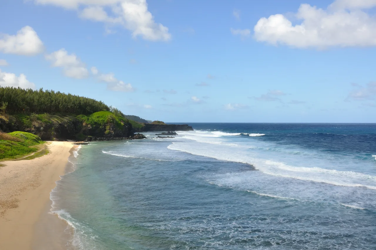
No sign announces it. For Mauritians, the wild south starts somewhere past Mahébourg, around L'Escalier, and runs to Baie du Cap and Le Morne by way of Souillac, Bel Ombre and the Savanne district. What defines it fits in one sentence: for long stretches, the coral reef simply is not there. Elsewhere on the island the swell breaks offshore and reaches the lagoon as warm ripples; here it hits volcanic rock at full force.
The result is a landscape nobody expects when they land in Mauritius: black basalt cliffs, spray, casuarina trees bent by the wind, coves where you can be alone on a Wednesday in August. Hotels are scarce, villages live off cane, fishing and tea. And because this coast turns its back on the tourist zones of the north and west, you can drive it all day without ever queuing.
Two practical consequences. First, come by car: southern sights sit at the end of cane tracks or on bends with no bus stop (our guide to renting a car in Mauritius covers the traps). Second, check the sea before you set off: a big swell makes some sites spectacular — and others dangerous.
Gris-Gris and the Weeping Rock: the ocean with nothing in its way
This is the symbol of the south, and the stop not to miss. At the island's southern tip, just past the village of Souillac, the Gris-Gris cliff looks down on a pale sand beach where nobody swims — with good reason. Swimming is formally prohibited: no coral reef, waves straight off the open ocean, and viciously strong currents. That is not brochure caution, it is the reality of this coast.
From the car park a grassy path follows the cliff edge to La Roche qui Pleure, the Weeping Rock, so called because water funnelled into its fissures streams back down the wall as though the rock were crying. Keep going and a coastal path leads back to Souillac in about forty-five minutes of walking, past empty coves and basalt formations. One useful habit before you leave: the app shows the sea of the day coast by coast, and on this shore the state of the swell completely changes the show.
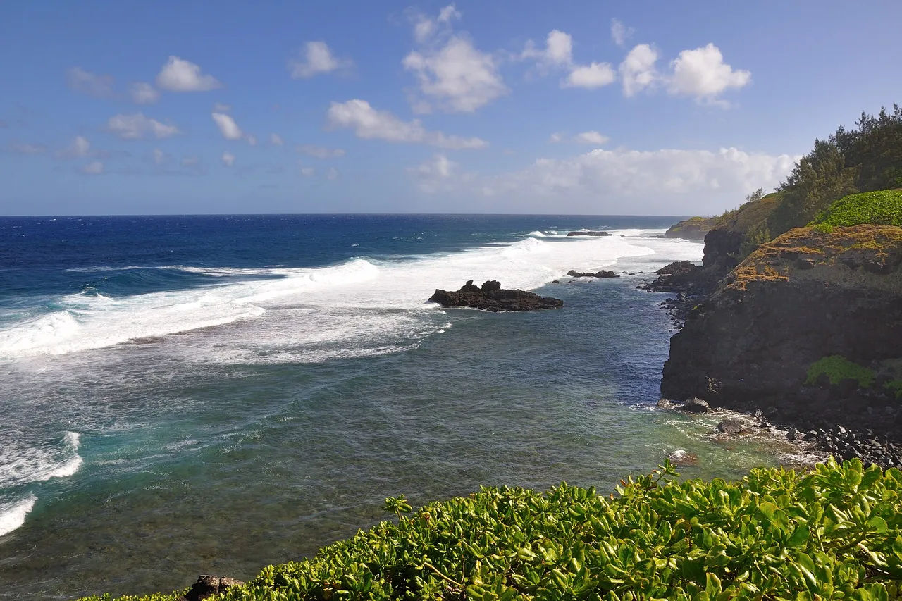
Our advice: come late morning, when the light hits the cliff face on, and wear proper shoes — the cropped grass on the path turns slippery after a shower. And keep well back from the edge: waves here climb far higher than they look.
Rochester Falls: the basalt organ pipes at the end of the cane
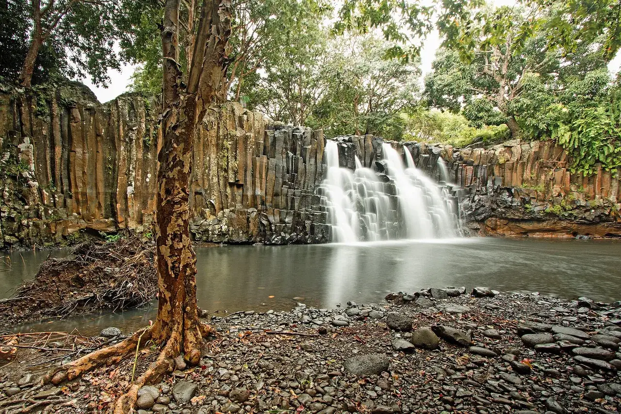
A few kilometres inland from Souillac, Rochester Falls is one of the island's most photogenic geological oddities. The fall itself is only about ten metres high, but it drops across a wall of rectangular basalt columns, packed together like organ pipes: the frozen trace of lava that cooled slowly millions of years ago.
Getting there is part of it: you leave the main road for a signposted lane — sometimes signposted by hand — then a few hundred metres of stony track through the cane. The site is open and free. Two things to know before you go: local kids often offer to "watch the car" for a few rupees, and young Mauritians dive from the top of the falls with deceptive ease — do not copy them, the depth and the rocks are unforgiving. Small change is genuinely useful, though: mangoes, pineapples and coconuts are sold along the path. The south's other natural wonders are gathered in the app's Nature category, vetted by locals.
Le Souffleur: the south you have to earn
Further east, near the village of L'Escalier, the coast hides one of the strangest sites in Mauritius: Le Souffleur. The sea has hollowed a cave under the cliff; when the swell is up, compressed water bursts through a crack in the plateau and shoots skyward — up to around twenty metres on the big days. On a calm sea, all that is left is a breath and a rumble under your feet.
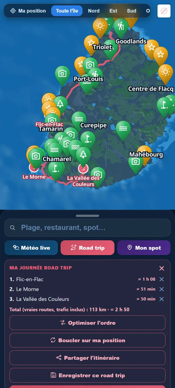
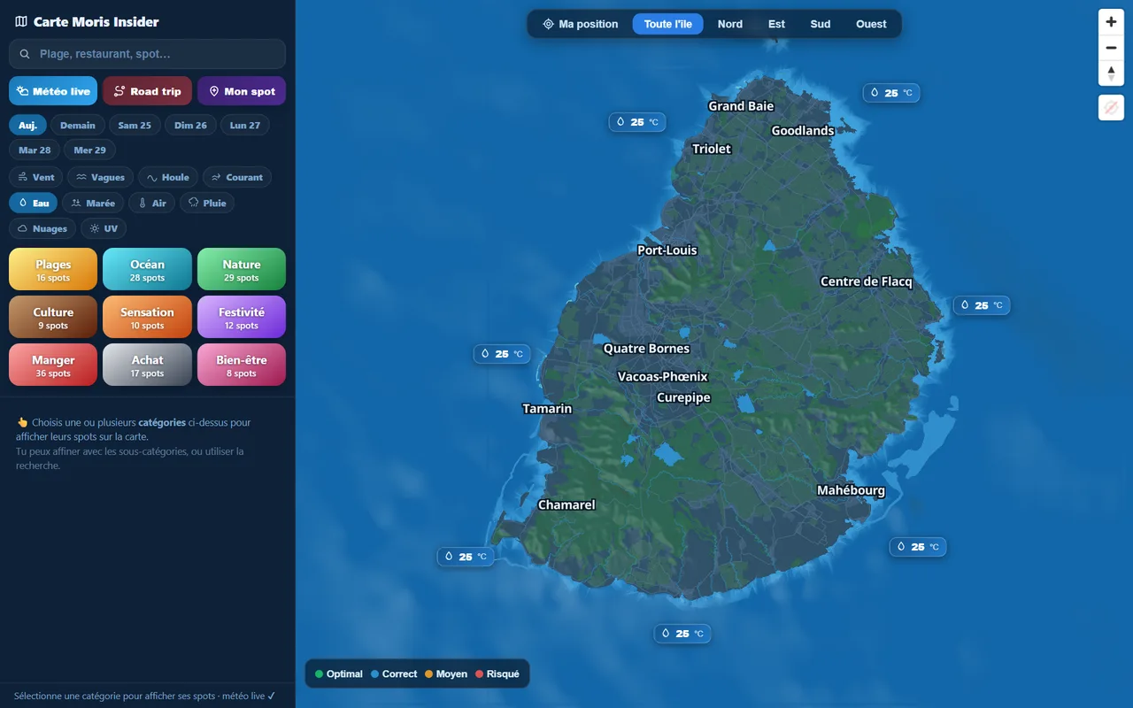
You earn this one: the track crosses the land of the Savannah sugar estate, so you must ask permission to pass, and the last section is rough — a high-clearance vehicle helps, and someone who knows the way helps more. That is precisely why there is never a crowd. Here too, everything depends on the sea: the explorer map places the southern spots, shows land and sea weather zone by zone and traces a timed road trip on the real roads, which saves you reaching the end of a track on a day the ocean is asleep.
Explore the island like an Insider
Moris Insider brings together 225 hand-picked places, today's weather coast by coast and a road trip planner on the real roads. Free, no account and no card needed.
Try it for free →Bois Chéri, Chamouny, Rivière des Anguilles: the highland south
The south is not only its coast. Climb inland and you enter tea country. The Bois Chéri estate, founded in 1892, spreads 250 hectares of tea bushes over hills that are often lost in mist: you tour the factory and the museum, taste flavoured teas, green teas and infusions without limit, and eat lunch facing a panorama that runs all the way down to the ocean. It opens daily from 9am to 5pm; reckon on around 300 rupees for residents and 500 rupees for non-residents. A detail few guides mention: in the southern winter the factory only runs one day a week (Wednesday or Thursday, 9am to 11am) depending on the harvest — outside that slot, production is stopped and you visit the museum and the plantation.
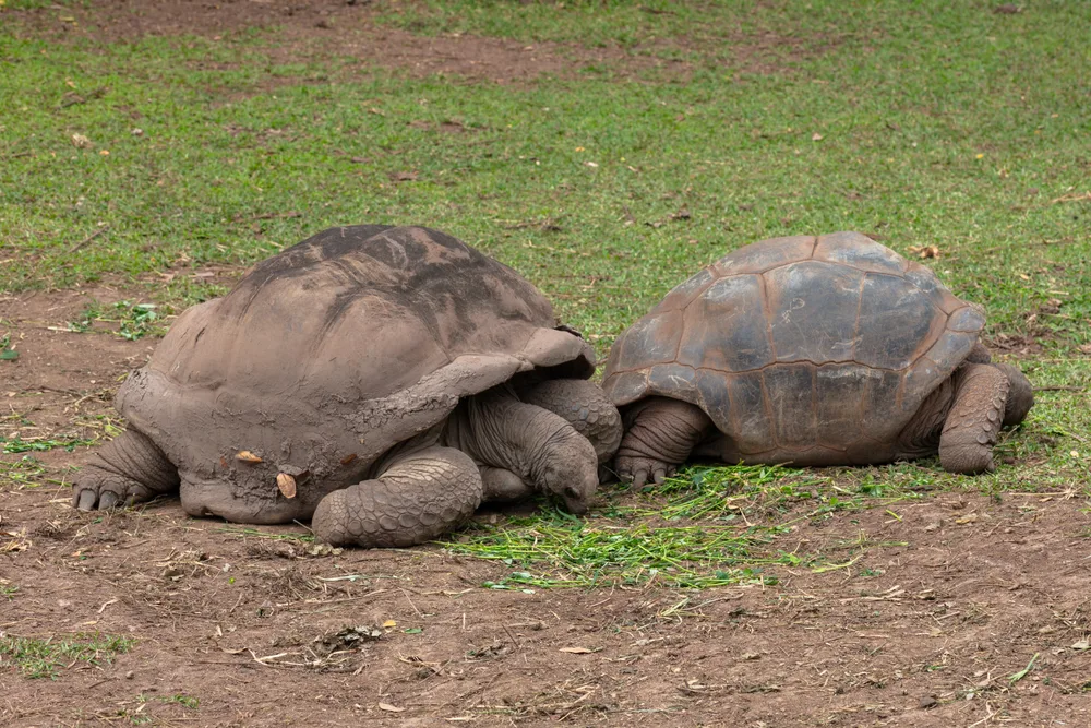
West of there, at Chamouny, the former Vallée des Couleurs — now renamed Vallé Advenature Park — protects 23 coloured earths, quieter cousins of the Chamarel ones, alongside waterfalls, endemic trees and valley viewpoints; standard entry covers the trails, with adventure packages on top. Further east, at Rivière des Anguilles, La Vanille Nature Park opens daily from 8.30am to 5pm: you walk among the world's largest captive collection of giant Aldabra tortoises, watch Nile crocodiles, and free guided tours leave every half hour. This is the stop that saves a rainy afternoon — and the one the children ask for again the next day.
For food around here, forget the grand tables: the south is eaten roadside, from snack vans and Creole family kitchens — the Eat addresses vetted by locals save you a pointless drive back to the west coast.
Bel Ombre to Macondé: the island's best coast road
This is our favourite stretch, and it is done by car with the windows down. After Bel Ombre — a historic 2,500-hectare estate whose 1,300 protected hectares form the Frédérica nature reserve, managed with the Mauritian Wildlife Foundation, home to Java deer, forest and hidden waterfalls — the road begins to snake along at water level. It runs through Saint-Martin and Baie du Cap, two fishing villages where life still turns around the sea and the cane.
Then comes Macondé: a tongue of black rock pushing into the ocean, rounded by the road in a hairpin famous across the island. A few steps lead to the top and the view opens both ways. The name comes from the Makonde, an East African people: escaped slaves from that community sheltered on these rocks in the colony's early days. You finish at La Prairie, an open beach facing the silhouette of Le Morne — whose hike and history our Le Morne Brabant guide tells in full.
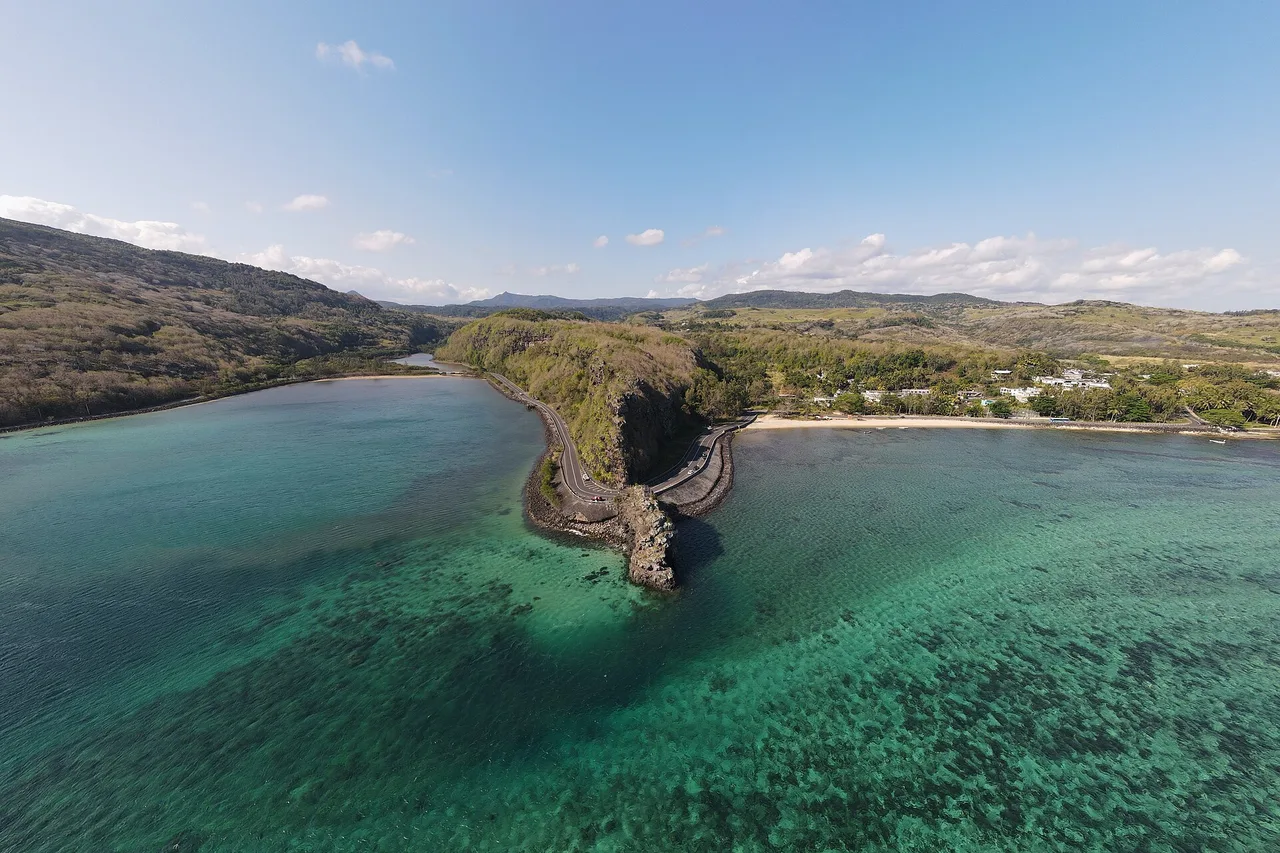
An honest word about swimming: between Souillac and Baie du Cap, not all beaches are equal. Some open straight onto the ocean, others sit behind a fragment of reef. When a calm lagoon appears — at Baie du Cap, at La Prairie — take it; elsewhere, just look. To line all this up in the right order, the app's planner slots the southern stops into the day, opening hours included.
Our one-day route (and a word from a local)
Here is the loop we recommend, east to west, starting from Mahébourg or the east coast. 8.30am: La Vanille Nature Park at Rivière des Anguilles, at opening, before the heat and the groups. 10.30am: Le Souffleur, if the sea is up and access was arranged the day before. 11.30am: Gris-Gris and the Weeping Rock, with the clifftop walk. 1pm: lunch in Souillac or by the roadside. 2.30pm: Rochester Falls. 4pm: the coast road from Bel Ombre to Macondé, with the compulsory stop at the rock. 5.30pm: sunset at La Prairie, facing Le Morne.
If you would rather split it in two, take tea at Bois Chéri on the second morning: highland mist, museum, tasting, then the drive down to Chamouny. And keep the rule of the south in mind: here, the sea sets the programme, not you. On a big-swell day Le Souffleur performs and Gris-Gris is awesome; on a glassy day, favour the interior, the waterfalls and the tea.
A word from a local, to finish. The wild south is not a list to tick off: it is crossed slowly, stopping where nobody planned to stop — at a pineapple-with-chilli seller, at a school emptying out, at one wave bigger than the rest. This is the part of the island where people still say "bonzour" before you do. Note your finds as you drive: the app's travel notebook keeps your spots, notes and photos, and next year you will know exactly which bend you stopped at.
The real Mauritius, in your pocket
The interactive explorer map: 225 hand-picked places, live weather coast by coast and timed road trips. Free, no account and no card needed.
Discover Moris Insider →