Tenerife is sold as "the island of eternal spring", and for once the slogan is almost honest: on the coast, the gap between winter and summer amounts to five or six degrees. Almost — because that friendly average hides three phenomena that can reshape your trip: microclimates that give the north and the south two different days at once, a 3,718-metre mountain that turns white with snow while people swim below, and the calima, the Saharan sand wind that repaints the sky ochre a few days a year. Here is when to go, season by season, depending on what you're coming for.
A thermostat island: what the numbers actually say
Let's start with the basics — the reason the island works twelve months a year. On the coast, daytime highs hover around 21-22°C in the depths of winter in the south, and 26 to 29°C at the height of summer — with the north usually a degree or two below. No monsoon, no hurricane season, no endless heatwaves: the Azores High and the trade winds act as natural air conditioning.
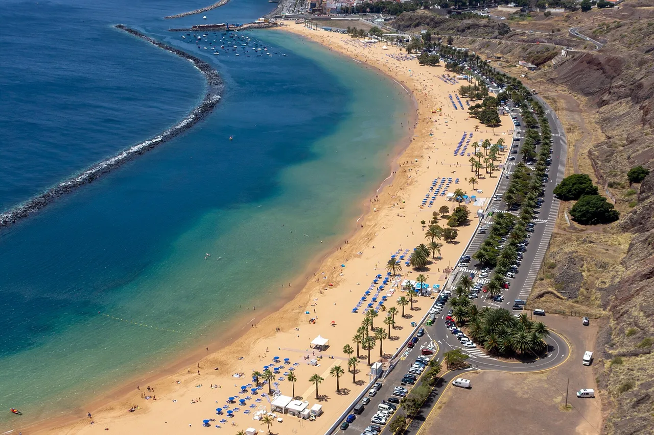
The sea follows the same rhythm, with a lag: it is coolest between January and March, around 19-20°C, and warmest in September-October, around 23-24°C. In other words: the most pleasant water isn't in August, it's in autumn — a detail regulars know well, and one that makes September one of the best months of the year. If your trip revolves around swimming and snorkelling, that's the curve to watch, not the air temperature; our guide to the beaches will then tell you where to lay your towel.
Season by season: what the year really looks like
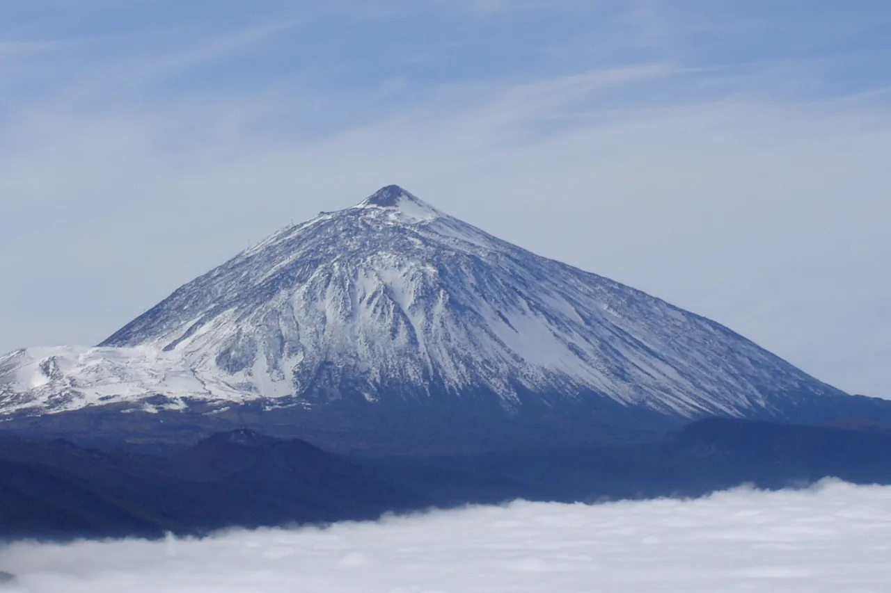
Winter (December-March) is high season — northern Europeans trading grey skies for 21°C and sunshine. The southern resorts fill up, prices climb, and the Santa Cruz carnival — one of the biggest in the world — sets the capital alight in February or early March, depending on the year. It is also the season of surprises: rain over the north, snow on Mount Teide, and in late January-February the spectacular almond blossom around Santiago del Teide.
Spring (April-June) is the hikers' favourite: flowering trails, crisp light, ideal temperatures for effort, and an island that empties out between Easter and summer. May and June are among the kindest months for your wallet. Summer (July-August) is warm without excess on the coast, dry, windy on the south-eastern beaches — kitesurfing paradise at El Médano — and very busy in August, when the whole of Spain goes on holiday. Autumn (September-November), finally, is the island's worst-kept secret: the sea at its peak, the crowds gone, golden light. October brings the first rains back to the north, which turns green again before your eyes.
North versus south: the microclimates that change everything
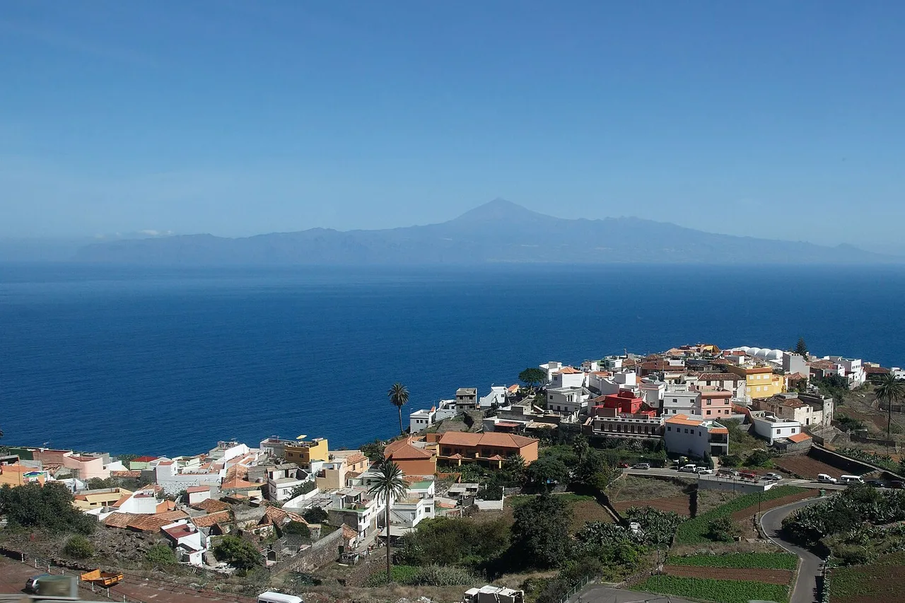
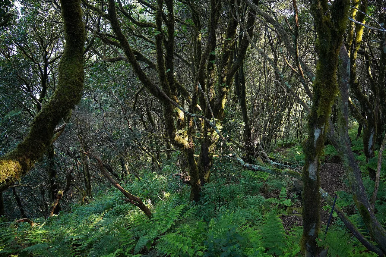
Tenerife is a mountain standing in the ocean, and that geography manufactures several climates at once. The trade winds — moist north-easterlies — run into the island's ridges: the north side gets the clouds and the coolness, while the south side, in the lee, stays dry and bright. That is why the big beach resorts settled in the south and west, and it is also why the north is so green.
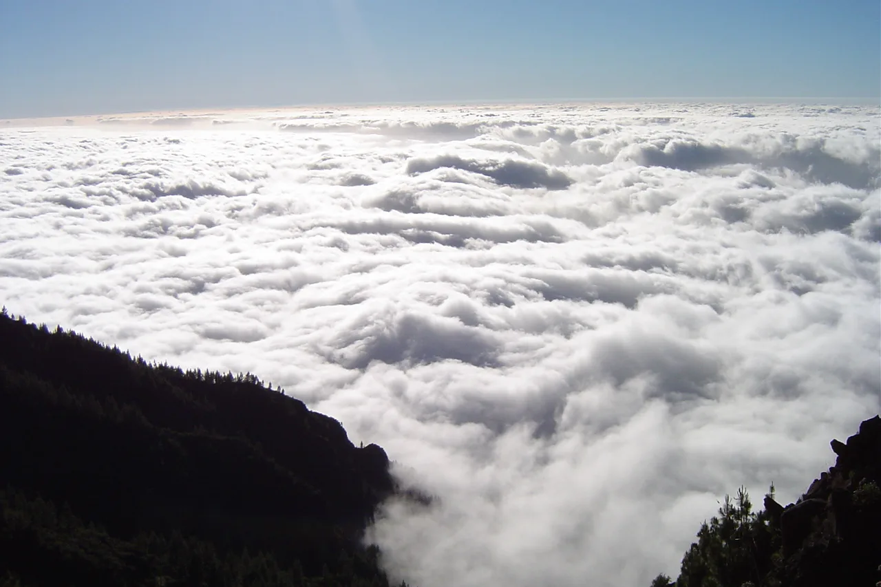
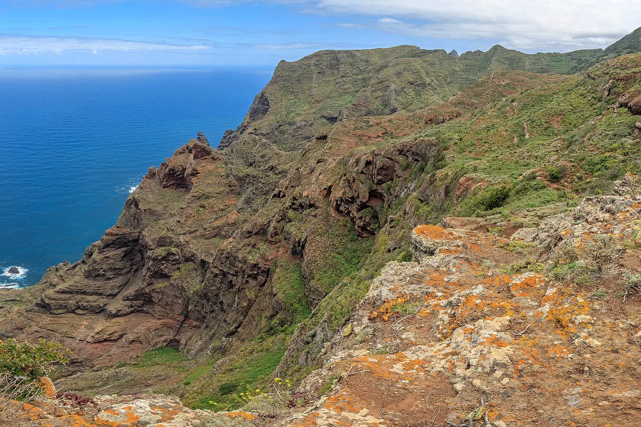
The most photogenic phenomenon is called the sea of clouds: a cottony layer that clings between 600 and 1,500 metres on the northern slopes, admired from above along the Teide roads or the Anaga ridges. Its least-loved version has a nickname in Puerto de la Cruz: the panza de burro, the "donkey's belly" — the grey lid that can cap the north coast in midsummer while Los Cristianos bakes in the sun, forty minutes' drive away. The practical rule follows: never judge the day from your window. An overcast sky in La Laguna says nothing about Costa Adeje, and vice versa.
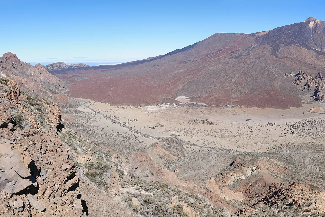
The third storey is the high mountain: above the sea of clouds, Teide National Park lives in dry air, fierce sunshine and cold nights all year round. You can go from 28°C on the beach to 13°C at Las Cañadas in an hour — pack proper warm layers, even in August. And in winter, snow regularly settles on the volcano: the park roads close while the ploughs work, and the island offers its most improbable picture — climbing Mount Teide in a down jacket in the morning, a swim in the sea in the afternoon.
The calima: when the Sahara crosses the sea
It has to be said, because no brochure says it: a few days a year, the wind swings east and brings Saharan air, loaded with suspended dust. This is the calima. The sky turns milky, then frankly ochre during the big episodes; the horizon disappears, temperatures can jump, and people with asthma or sensitive airways have a rough time. An episode usually lasts two to five days and can happen at any time of year — the strongest ones often come in winter.
The major events remain the exception: the February 2020 episode, the worst in recent memory, suspended flights across the whole archipelago for two days and forced the cancellation of nearly 800 flights. Nothing like that happens most years — but if your sky turns yellow, adapt the programme: it's the right day for the museums of La Laguna, the guachinches or a militant siesta, not for the summit photo or a long trail run. On calima days, sea state and visibility also change the equation for boat trips: check the morning's conditions before booking anything.
When to come, depending on what you're after
For swimming and snorkelling: September-October, no hesitation — the sea is at its best and the beaches can breathe. For hiking: April-June and autumn, when the Anaga and Teide trails can be walked without furnace or crowds. To escape the European winter: December-March does exactly what you ask of it — book early, all of northern Europe has the same idea. For whales and dolphins: all year round, and that is a global rarity — pilot whales live permanently off the west coast. For the party: the Santa Cruz carnival, in February or early March. For your budget: May-June and November, the dips between two high seasons.
And if you remember only one thing: no month is a bad choice. The question is not how to avoid a disastrous season — there isn't one — but how to align your plans with the curve that matters to you: the sea, the trails, the prices or the party. Once you've picked your dates, our 25 unmissables of Tenerife will give you the grand tour.
The right reflexes, whatever the date
First reflex: think vertically, not just horizontally. Your suitcase must cover three climates — swimwear for the coast, a fleece for altitude, a windproof for the ridges — even at the height of summer. Second reflex: read the weather slope by slope, never as a single dot on the map; a "Tenerife" forecast that doesn't distinguish north from south tells you next to nothing. Third reflex: keep some slack in the plan. The finest sea-of-clouds mornings, the crystal-clear summit sunrises and the glassy-sea windows on the west coast cannot be decreed in advance — you seize them on the morning itself, when the day's conditions are in. That is the one true rule of a successful trip here: the island decides, you adapt — and it is generous with those who know how to switch sides.