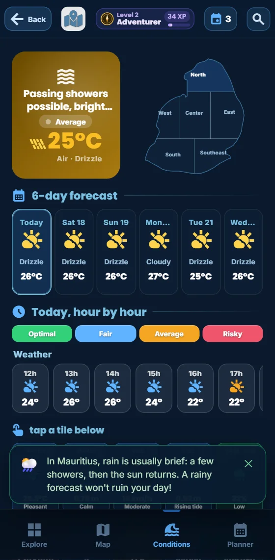
"We're going in January — is that risky because of the cyclones?" It is probably the question we are asked most often. The honest answer comes in two parts: yes, Mauritius has a real cyclone season, with a warning system taken very seriously here; no, that does not mean half the year should be avoided. Here is what those words actually cover, what happens on the ground when a warning is issued, and how we plan our own days — with today's conditions zone by zone in the free app.
Budget tip: in Mauritius, part of what you do can cost you less. See how to save money with discounts on your activities.
We live here and we run Moris Insider, the guide and map of Mauritius co-created with locals. This guide neither dramatises nor downplays: it uses the official definitions published by the Mauritius Meteorological Services, a few verifiable historical markers, and the habits we ourselves fall back on every austral summer.
Cyclone season at a glance
In Mauritius the cyclone season is an official period, not a vague impression: it runs from 1 November to 15 May. That is the window in which a tropical system may form, or travel close enough to the island to concern it. Activity clusters clearly in the heart of the austral summer, from January to March, when the ocean is warmest and formation conditions come together.
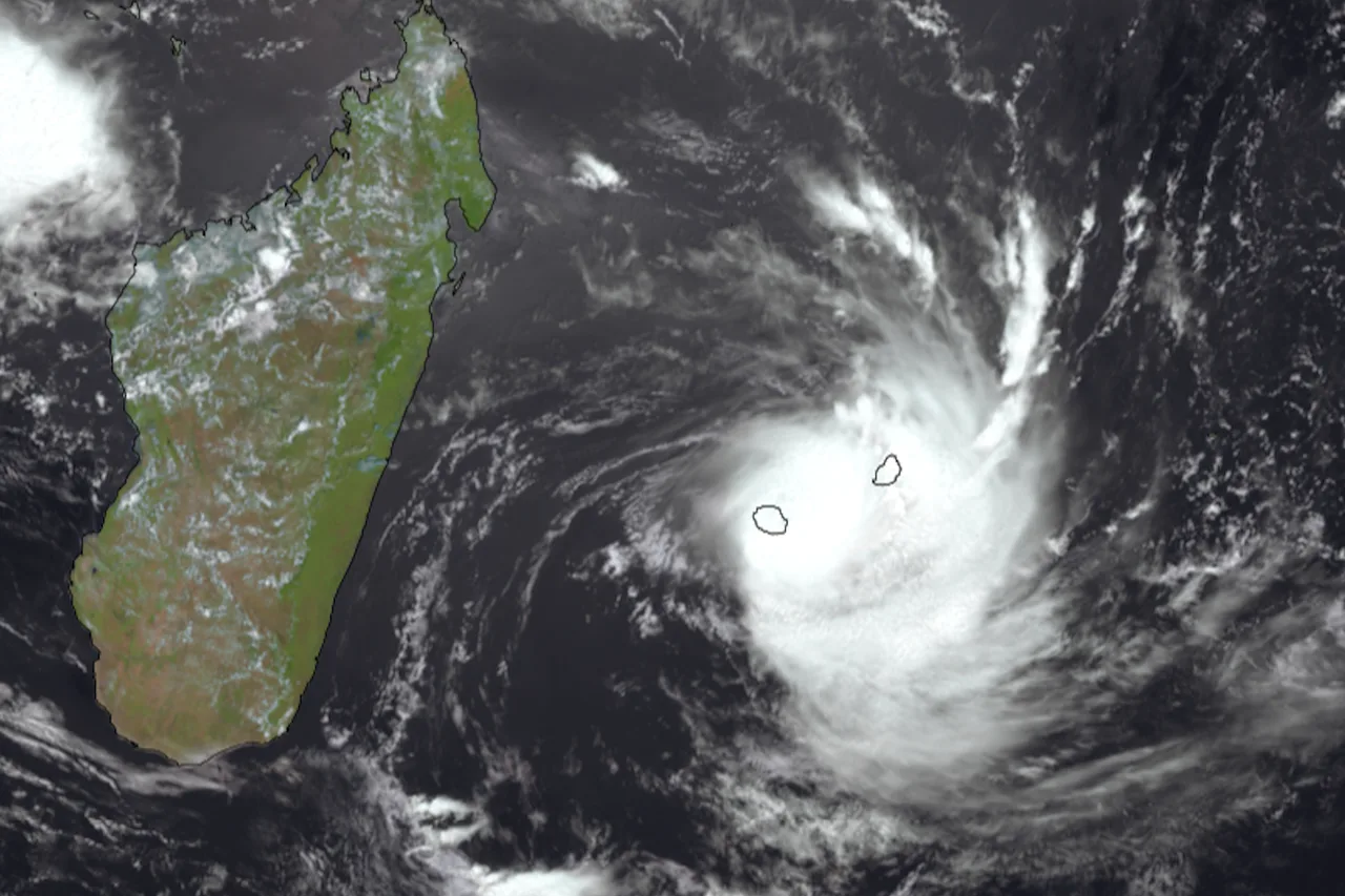
Mauritius sits in the south-west Indian Ocean basin, monitored by the specialised regional meteorological centre based in Réunion. In practice a system is spotted, named and tracked several days before it approaches: nobody here is caught out by a cyclone overnight. On the scale of a holiday that changes everything — the information arrives with plenty of lead time, and decisions are made calmly.
One misunderstanding is worth clearing up straight away: "cyclone season" does not mean six months of storms. The vast majority of days between November and May are classic tropical summer days — hot, humid, with a bath-warm lagoon and short showers, often late in the afternoon, followed by a washed-clean sky.
Cyclone, rain, swell: three different things
Three distinct phenomena usually get bundled into one word. Telling them apart already explains 80% of the subject.
Cyclonic wind is what the Mauritian warning system measures, and the whole system is built around a single threshold: gusts of 120 km/h. As long as that threshold is not in play, no cyclone warning class is issued, however unpleasant the weather may be.
Heavy rain is handled by a separate mechanism: the Mauritius Meteorological Services publish their own torrential rain warning bulletins, independently of the cyclone classes. This matters, because in Mauritius it is very often the rain rather than the wind that causes the most visible damage: runoff down the slopes, urban flooding, roads cut until the water drains away.
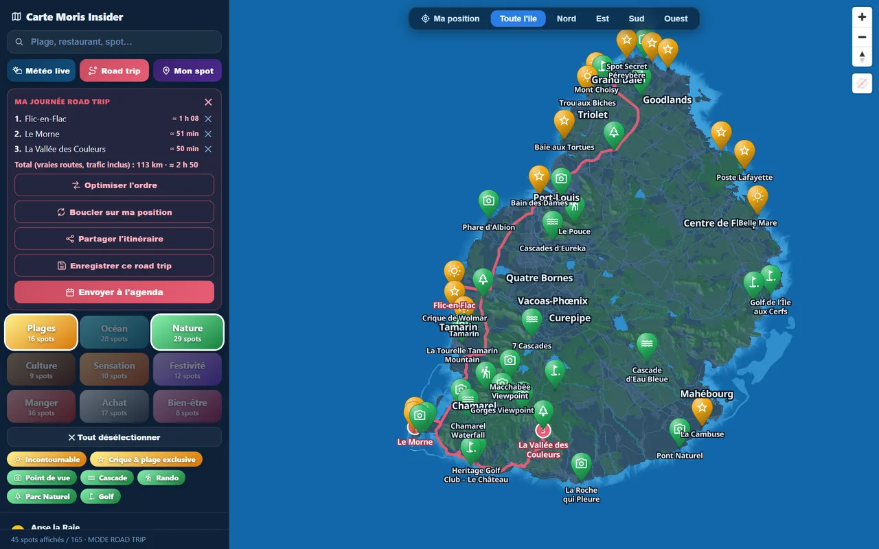
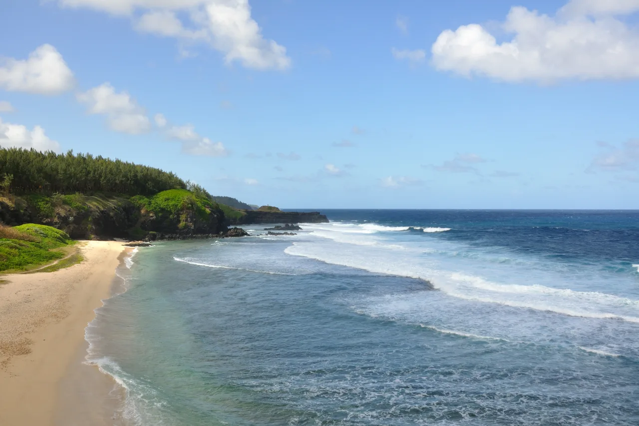
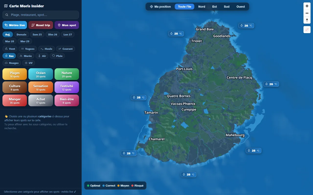
Swell, finally, travels far beyond the system that generated it. A cyclone hundreds of kilometres away may leave your sky untouched while raising an unpleasant, sometimes dangerous sea on exposed coasts. That is why we always check the sea sector by sector before picking a beach or booking a boat trip: the explorer map shows land and sea weather zone by zone, wind, waves, swell and current included. A day of heavy swell on the south coast can easily be a glassy-lagoon day in the north-west.
Warning classes I to IV, explained
The Mauritian system has four warning classes. All of them refer to the same event — the occurrence of gusts of 120 km/h — and differ by the notice they give the population. Here are the official definitions as published by the Mauritius Meteorological Services.
- Class I — issued not less than 36 hours nor more than 48 hours before gusts of 120 km/h may occur. It is a heads-up: life carries on as normal.
- Class II — issued so as to allow, as far as practicable, 12 hours of daylight before those gusts. Time to secure, stock up and tidy away.
- Class III — issued so as to allow, as far as practicable, 6 hours of daylight. The island shuts down and refuge centres open.
- Class IV — issued when gusts of 120 km/h are already being recorded in some places and are expected to continue. Nobody goes out, full stop.
Lifting a warning is not casual either: a safety bulletin ends Class III or IV, following consultation with and advice from the national crisis committee, and flags the risks that remain once the wind has dropped — because they often do remain. That is the detail that surprises visitors: the end of the warning is not the end of the danger, it simply changes its nature.
The real risk when you are on holiday
Now for the facts. Every season several systems cross the basin and Mauritius feels their effects to varying degrees — usually as rain, sustained wind and swell. A major direct hit, though, is far rarer: these are events the island counts date by date across several decades.
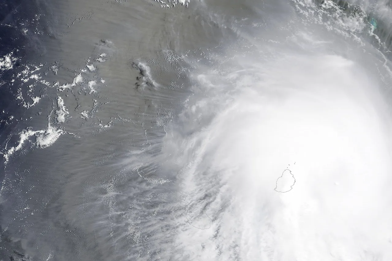
The recent benchmark is Belal, on 15 and 16 January 2024. The system had struck Réunion on 15 January with sustained winds near 170 km/h before affecting Mauritius, where it was above all the torrential rain that left its mark: flooding in Port Louis, cars submerged or abandoned in the capital, the airport closed, more than 1,000 people evacuated and around 40,000 households without power. According to the Mauritius Red Cross the episode killed at least two people and affected around a hundred thousand. Belal is a textbook illustration of the previous section: it was the water, far more than the wind, that made the difference.
For major cyclones proper, Mauritian memory holds on to three names. Carol, in 1960, remains the benchmark disaster — and it was the year cyclones started being named in Mauritius. Gervaise, on 6 February 1975, crossed the island with the calm of its eye lasting some three hours overhead and gusts recorded up to 280 km/h. Hollanda, on 10 February 1994, struck Mauritius at peak intensity with winds of 218 km/h, killing two people and causing around 135 million dollars of damage.
What those dates say about a holiday: the worst-case scenario exists, it is documented, and it is infrequent. The realistic scenario for an austral-summer trip is more like one or two disrupted days — heavy rain, sea closed, excursions cancelled — across two or three weeks. Buildings, hotels and infrastructure are designed for it, and the island knows how to stop and start again.
Should you avoid the austral summer?
Our honest answer: not on principle. Travelling between November and April has real advantages. The lagoon is at its warmest, the island is spectacularly green, waterfalls and vegetation are at their peak, and prices — flights as well as accommodation — are often gentler than in high season. January and February, the quietest months, also mean noticeably emptier beaches.
In exchange you take the whole package: heat, high humidity, tropical downpours that can be fierce but brief, and the statistically small chance that a warning costs you a day or two of your plans. If you want zero weather uncertainty, the austral winter (May to October) is the safe bet: dry weather, comfortable temperatures, no cyclone risk. The water is cooler and the east coast windier, but that is the trade-off. We break it down month by month in our guide to the best time to visit Mauritius.
Two practical tips if you are aiming for January or February: favour flexible tickets and cancellation cover, and keep your plans loose rather than scheduled to the minute. That is exactly the spirit we built the app around: all 225 places are sorted by mood rather than by day, so you can change your mind on the morning itself without losing anything.
Explore the island like an Insider
Moris Insider brings together 225 hand-picked places, today's weather coast by coast and a road trip planner on the real roads. Free, no account and no card needed.
Try it for free →If a warning is issued during your stay
Here is the how-to we would give a visiting friend, class by class.
In Class I, change nothing about your day, but take the chance to fill up the car, buy water and a few supplies, and charge your phone and power bank. It is the comfortable moment, with no queues and no stress.
In Class II, bring in anything loose outdoors — sun loungers, parasols, laundry — close shutters and sliding doors, and get a torch, candles and food you can eat without cooking. Tell your accommodation what you plan to do: they know their building and what it needs.
In Class III, the island really does stop: shops closed, transport suspended, economic activity halted, refuge centres open. Stay inside. Do not drive out "to have a look" — branches, power lines and water-filled potholes do far more damage than the wind itself.
After the safety bulletin, stay careful for 24 to 48 hours: flooded roads, downed power lines, swollen rivers and above all a sea that stays dangerous for several days, including once the sky has turned blue again. That is the classic day-after trap.
As for your trip, it is mostly about rebuilding a plan. A lost day can be made up: the weekly planner lets you move each idea to the right day according to the forecast. And when rain settles in without any warning being issued, there is still plenty to do: museums, temples and cultural estates are excellent under grey skies, as are the rum distilleries and covered markets. To build a driving loop between two showers, our guide to the map of the island shows how to chain stops along the real roads.
A word from the locals
Here, cyclones are neither a fantasy nor a taboo: they are a season, with its rules, its habits and its vocabulary. Children know what a Class III is before they can spell it, houses have their shutters, and everyone has a power-cut story to tell. This is not carelessness — it is simply an island that has always lived with its climate.
So our closing advice fits in one sentence: come in the season that suits you, but watch the sky rather than the calendar. A rainy day on the west coast is often a sunny one in the east; a day of swell in the south is a perfect lagoon day in the north. And if one of your days does end up written off by the weather, it will probably become your best travel story — the travel journal keeps those days just as well as the postcard ones.
The real Mauritius, in your pocket
The interactive explorer map: 225 hand-picked places, live weather coast by coast and timed road trips. Free, no account and no card needed.
Discover Moris Insider →